Explore by Activity

Foothills, Plains and Valleys

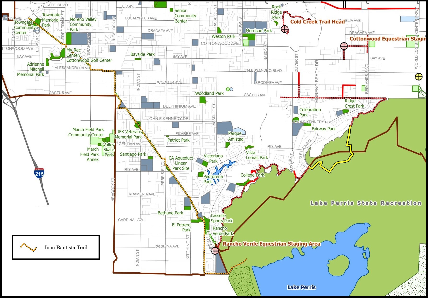
Hike the Anza Trail through Moreno Valley in Riverside County, CA. This segment is located on the ancestral lands of the Luiseno, Tongva, and Cahuilla people, and it falls between historic Anza expedition campsites #58 and #59. This 8-mile certified trail starts at Towngate Memorial Park and ends at Lake Perris State Recreation Area . The multi-use paved path is flat and good for walking, jogging,…

26 parks and sites (NPS)

About Foothills, Plains and Valleys

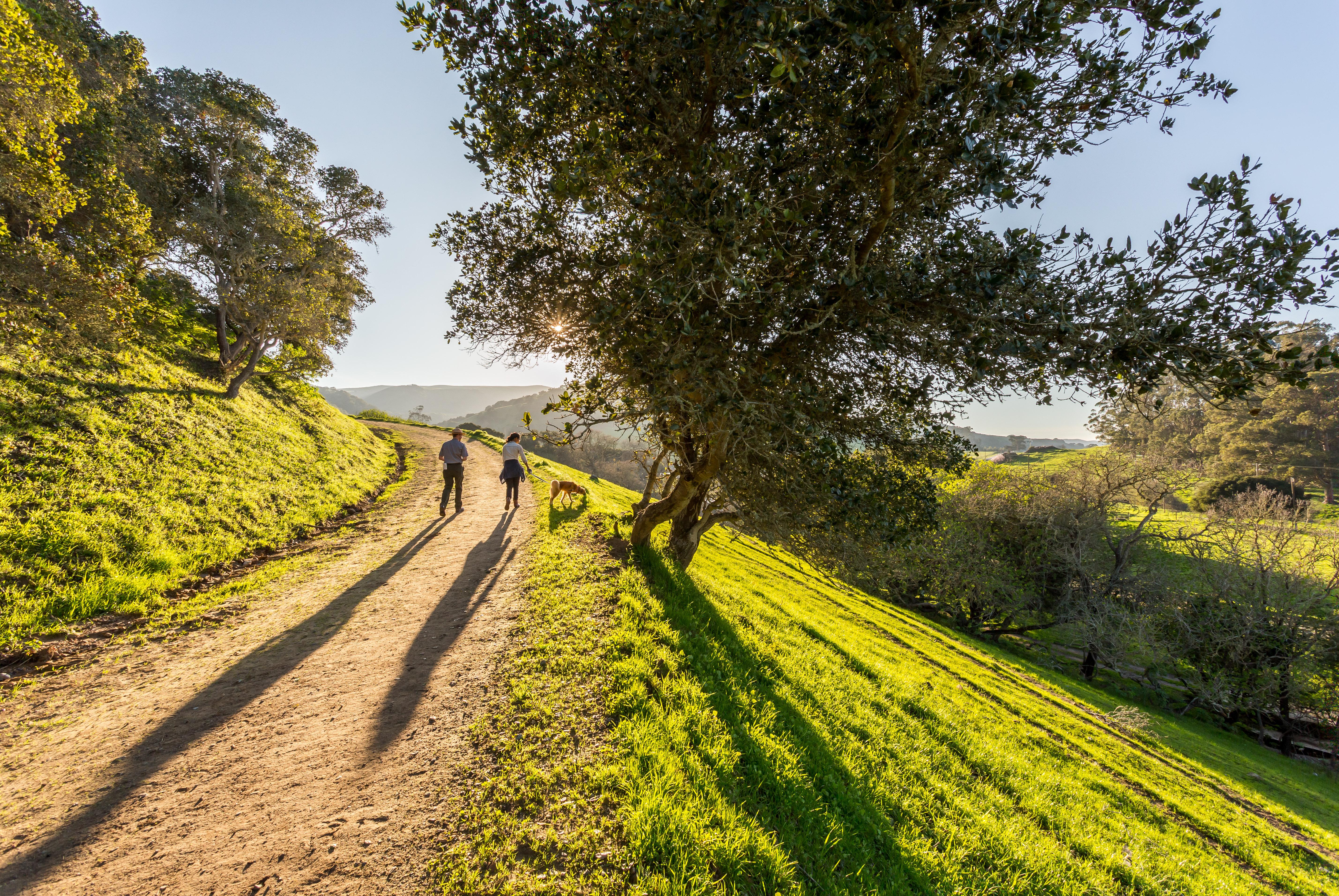
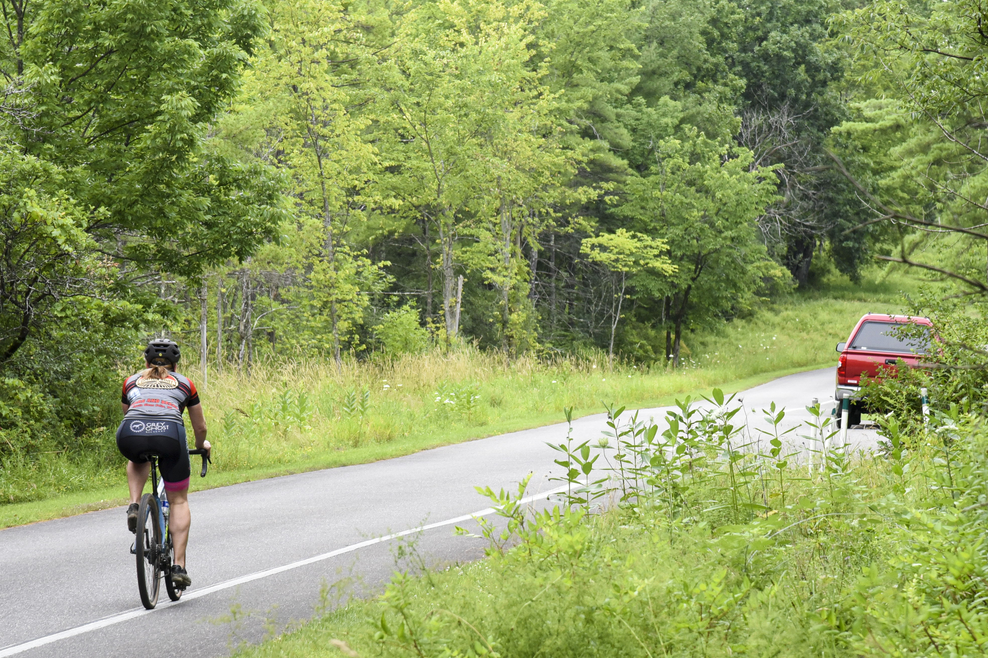
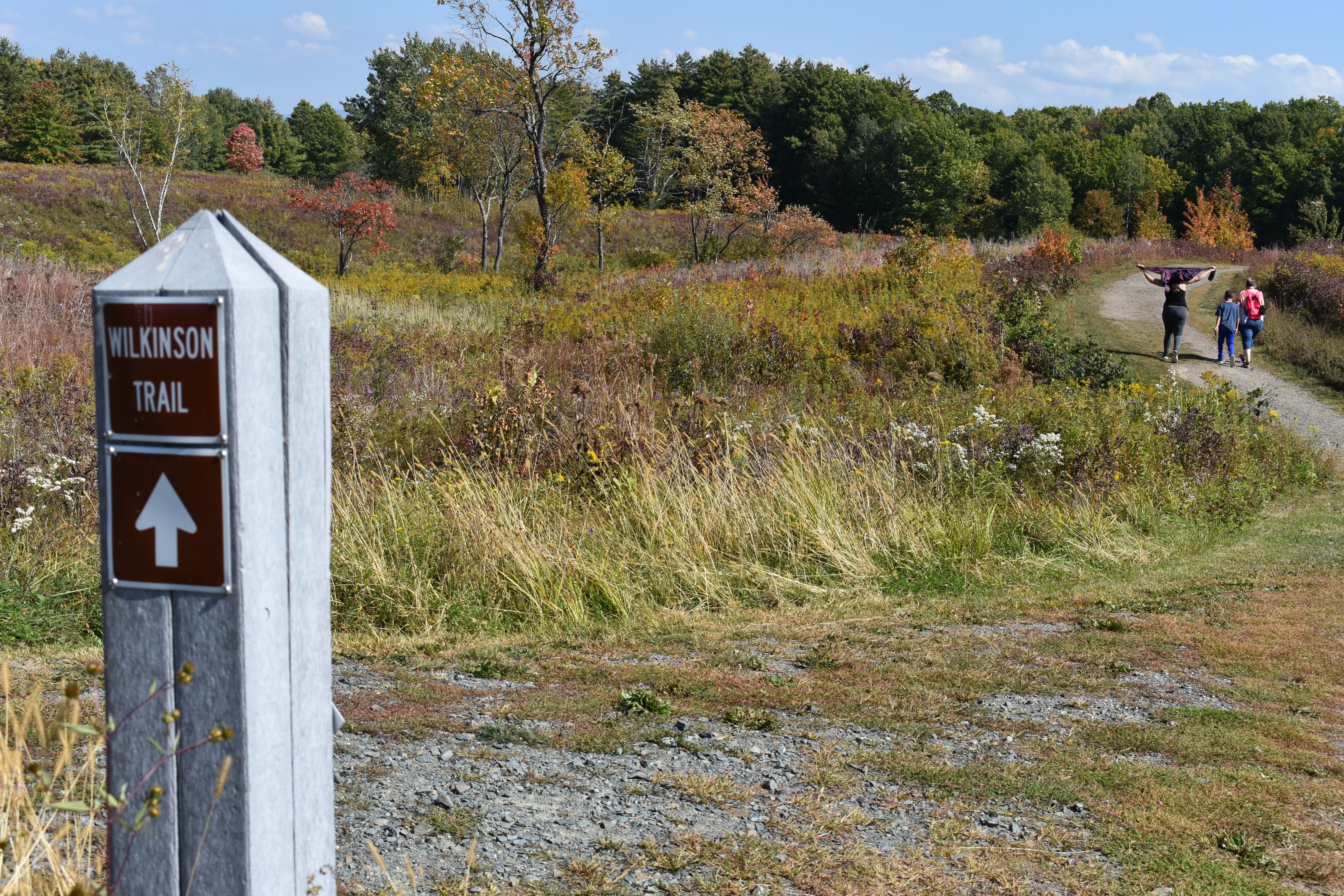
  • an urban trail starts at a large recreation area with a lake and moves northwest to a park

    Hike the Anza Trail through Moreno Valley · Juan Bautista de Anza National Historic Trail

    Hike the Anza Trail through Moreno Valley in Riverside County, CA. This segment is located on the ancestral lands of the Luiseno, Tongva, and Cahuilla people, and it falls between historic Anza expedition campsites #58 and #59. This 8-mile certified trail starts at Towngate Memorial Park and ends at Lake Perris State Recreation Area . The multi-use paved path is flat and good for walking, jogging, and biking. It has lighting in some areas and would take roughly 2-4 hours to complete by foot. At the trailhead, Towng…

    View on NPS.gov
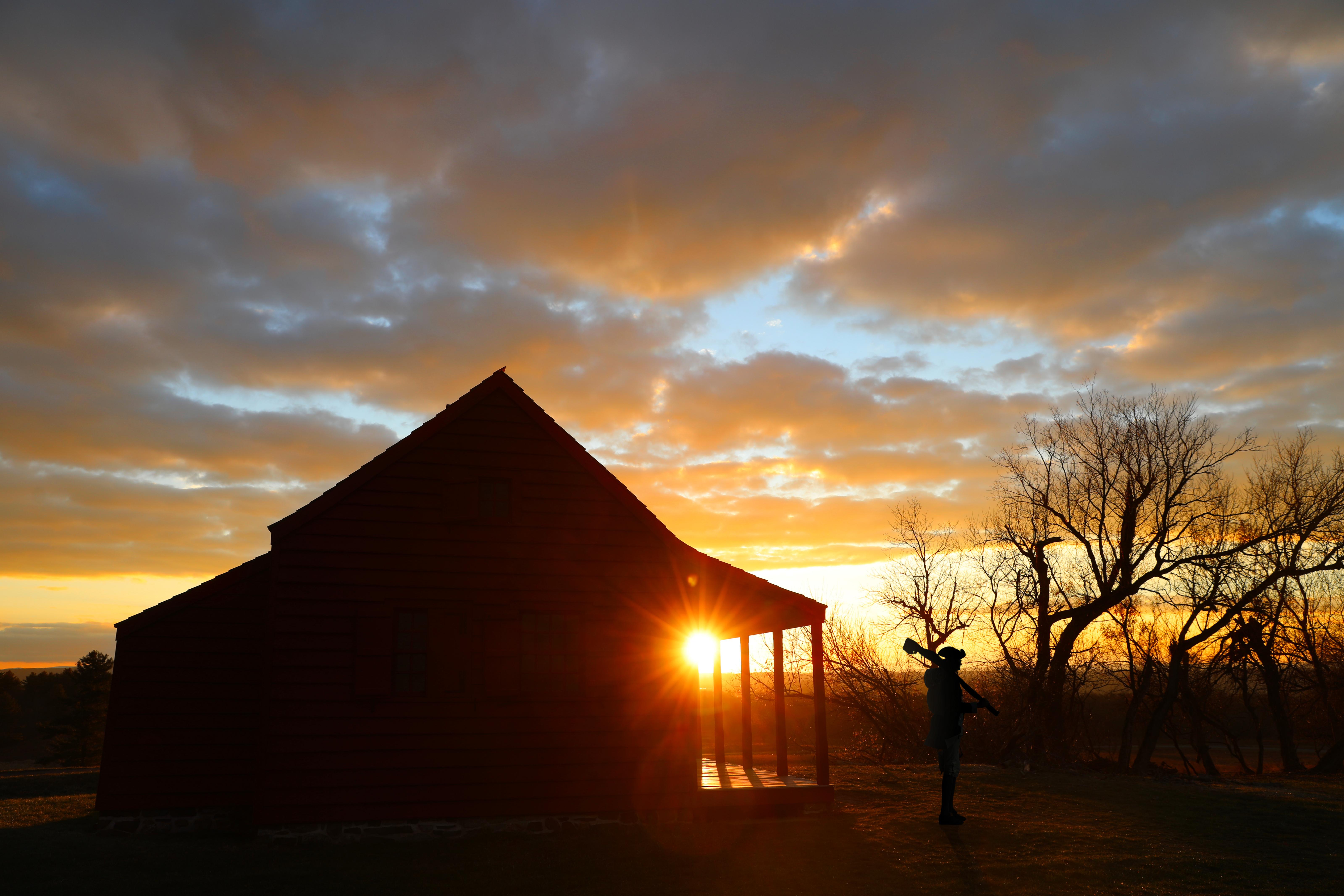
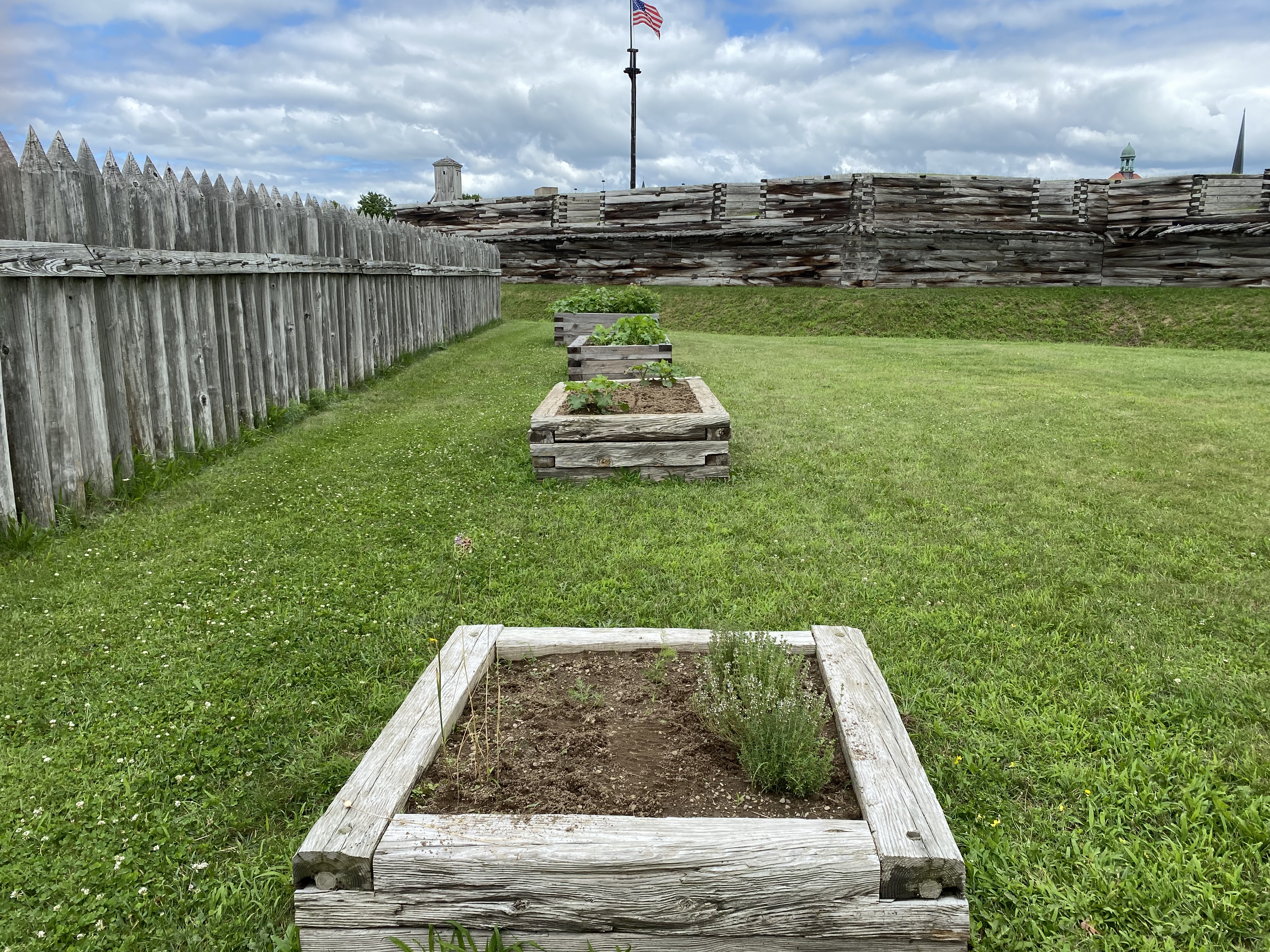
  • 3 raised garden beds in a grassy area in front of the fort wall and inside the picket fence.

    Explore the Fort Garden · Fort Stanwix National Monument

    Soldiers at the fort were encouraged to tend gardens, and we have a few examples of what they grew! Come and see how different some of your favorite fruits and vegetables were back in the 18th century, and learn about how different medicinal herbs were used. You may already have some herbs in your pantry! Before his arrival to the fort in the spring of 1777, Gansevoort sent a letter to his second in command, Lieutenant Col. Marinus Willett, ordering a garden to be planted near the fort: “As soon as the Season will…

    View on NPS.gov
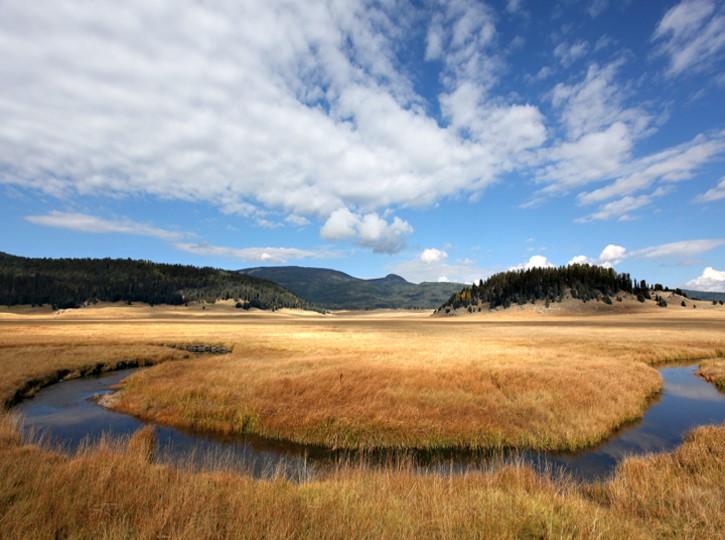
  • A sweeping montane grassland with forested hills in the background.

    Take a Scenic Drive through Valle Grande · Valles Caldera National Preserve

    The Valles Caldera Entrance Road is a scenic, four-mile-long gravel road through the heart of Valle Grande. This drive offers outstanding wildlife viewing opportunities, volcanic vistas, and several places to get out and explore on foot. The road begins at Valles Caldera National Preserve's main entrance near mile marker 39 on New Mexico State Route 4. An orientation sign at the main entrance shares important information about the park and the incredible volcanic landscape before you. This is also a great place to…

    View on NPS.gov
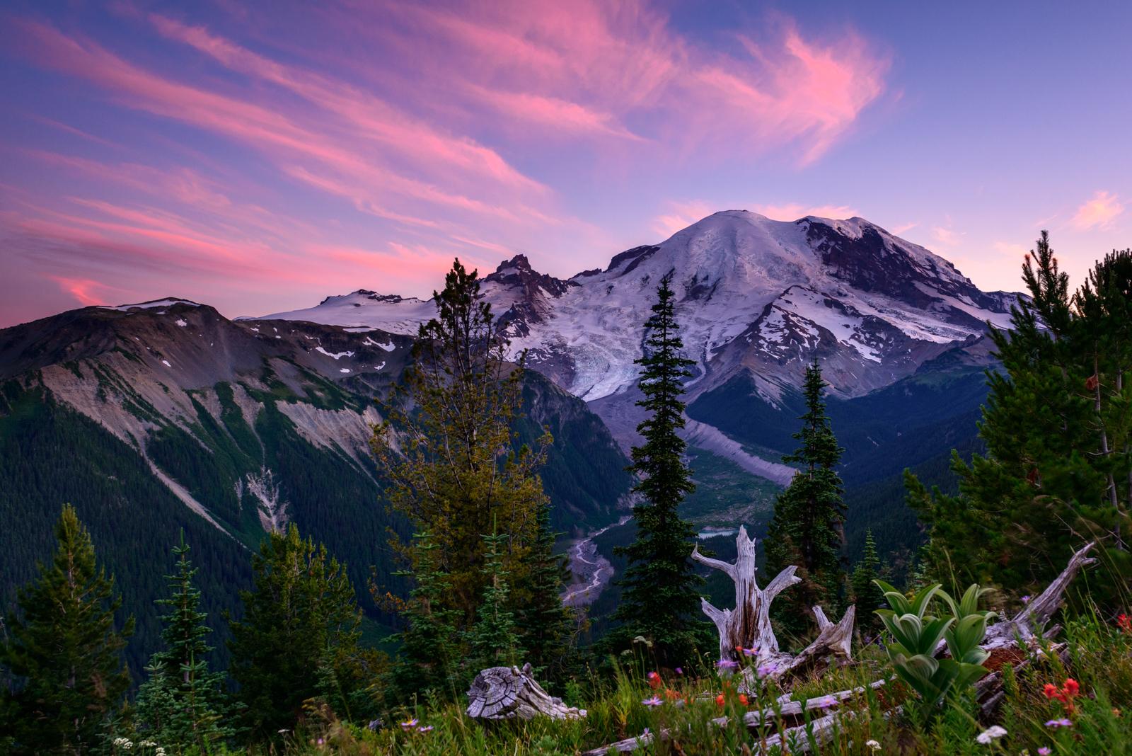
  • Subalpine meadow and trail with Mount Rainier in the background.

    Kid-Friendly Hikes at Mount Rainier · Mount Rainier National Park

    Remember to stay on the maintained trail and do not pick any flowers no matter how pretty they might be! Pets are not allowed on trails. Check trail conditions before heading out on your hike, as most of these trails are under snow for a good section of the year. Longmire Area Twin Firs Trail : 0.4 miles/0.6 km loop trail. Average hiking time: 20 min. Discover some old growth trees as you walk along this trail. Trail begins about 4 miles after the Nisqually Entrance. Trail of Shadows : 0.7 miles/1.1 km loop trail.…

    View on NPS.gov
  • A large pond in the middle of a montane grassland with forested mountains in the background.

    Hike the Valle Grande Exploration Trail · Valles Caldera National Preserve

    Follow the brown posts into the heart of the Valle Grande. This 0.8-mile (1.3 km) out-and-back hike will lead you to a constructed pond on La Jara Creek which served as a water source for cattle and sheep when this land was a private ranch. There are good opportunities for viewing elk, birds, and wildflowers. Be weather aware in the summer for sudden thunderstorms and in the winter for snow squalls. Elevation: 8,504 - 8,517 feet

    View on NPS.gov

Featured parks for foothills, plains and valleys

Programs & experiences

Explore the Fort Garden

Fort Stanwix National Monument

Soldiers at the fort were encouraged to tend gardens, and we have a few examples of what they grew! Come and see how different some of your favorite fruits and vegetables were back in the 18th century, and learn about how different medicinal herbs were used. You may already have some herbs in your pantry! Before his ar…

View

Take a Scenic Drive through Valle Grande

Valles Caldera National Preserve

The Valles Caldera Entrance Road is a scenic, four-mile-long gravel road through the heart of Valle Grande. This drive offers outstanding wildlife viewing opportunities, volcanic vistas, and several places to get out and explore on foot. The road begins at Valles Caldera National Preserve's main entrance near mile mark…

View

Kid-Friendly Hikes at Mount Rainier

Mount Rainier National Park

Remember to stay on the maintained trail and do not pick any flowers no matter how pretty they might be! Pets are not allowed on trails. Check trail conditions before heading out on your hike, as most of these trails are under snow for a good section of the year. Longmire Area Twin Firs Trail : 0.4 miles/0.6 km loop tr…

View

Hike the Valle Grande Exploration Trail

Valles Caldera National Preserve

Follow the brown posts into the heart of the Valle Grande. This 0.8-mile (1.3 km) out-and-back hike will lead you to a constructed pond on La Jara Creek which served as a water source for cattle and sheep when this land was a private ranch. There are good opportunities for viewing elk, birds, and wildflowers. Be weathe…

View

Hike the South Valle Grande Trail

Valles Caldera National Preserve

The South Valle Grande Trail is a pet-friendly hike that descends the southeastern rim of the caldera to the edge of Valle Grande. Because this trail transitions between two habitat types—mixed conifer forest and montane grassland—it hosts great biodiversity and is a renowned wildlife viewing spot, especially at dawn a…

View

Hike the South Mountain Trail

Valles Caldera National Preserve

The South Mountain Trail (8.2 miles, 13.2 km round-trip) climbs up the north side of South Mountain. The trail passes through shady mixed conifer forest before reaching a lovely meadow at the top. Some of the best views of the south rim can be found at the summit. Elk tend to rest on the eastern slope of South Mountain…

View

Hike the Rabbit Ridge Trail

Valles Caldera National Preserve

The Rabbit Ridge Trail (2.4 miles, 3.8 km round-trip) is an optional spur off of the Rabbit Mountain Loop that ascends to the south rim of Valles Caldera. The trail passes through aspen groves and offers outstanding views of Valle Grande and Redondo Peak. At the trail's summit is the boundary line between Valles Calder…

View

Hike the Rabbit Mountain Loop

Valles Caldera National Preserve

The Rabbit Mountain Loop (2.9 miles, 4.7 km round-trip) contours along the southern rim of the caldera, offering great views of Valle Grande and Redondo Peak. The trail passes through shady aspen groves, open meadows, and parts of the Las Conchas wildfire burn scar. Burned areas with standing dead trees can be hazardou…

View

Hike the Jemez River Trail

Valles Caldera National Preserve

This 3.4-mile (5.5 km) out-and-back trail features breathtaking views along the East Fork Jemez River as it flows toward the southwestern corner of the preserve. The trail initially climbs up a hill with outstanding views of Valle Grande and then drops down into the canyon of the East Fork. From here, you'll hike downs…

View

Hike the Cerro La Jara Loop

Valles Caldera National Preserve

This 1.5-mile (2.4 km) loop trail circles Cerro La Jara, the smallest volcanic dome in the park, which formed about 500,000 years ago when lava oozed up and onto the caldera floor. South Mountain, to the west, and Cerro del Medio, on the opposite side of Valle Grande, are also volcanic domes and can be seen from this t…

View

Backcountry Hiking South Bluff

Scotts Bluff National Monument

The area within Scotts Bluff National Monument south of the Old Oregon Trail highway and directly across from the Visitor Center is known as “South Bluff”. The summit of South Bluff is 4,692 feet above sea level and is a relatively unspoiled area of considerable scenic value, abounding in features of geological and bot…

View

Visit Tuzigoot Pueblo

Tuzigoot National Monument

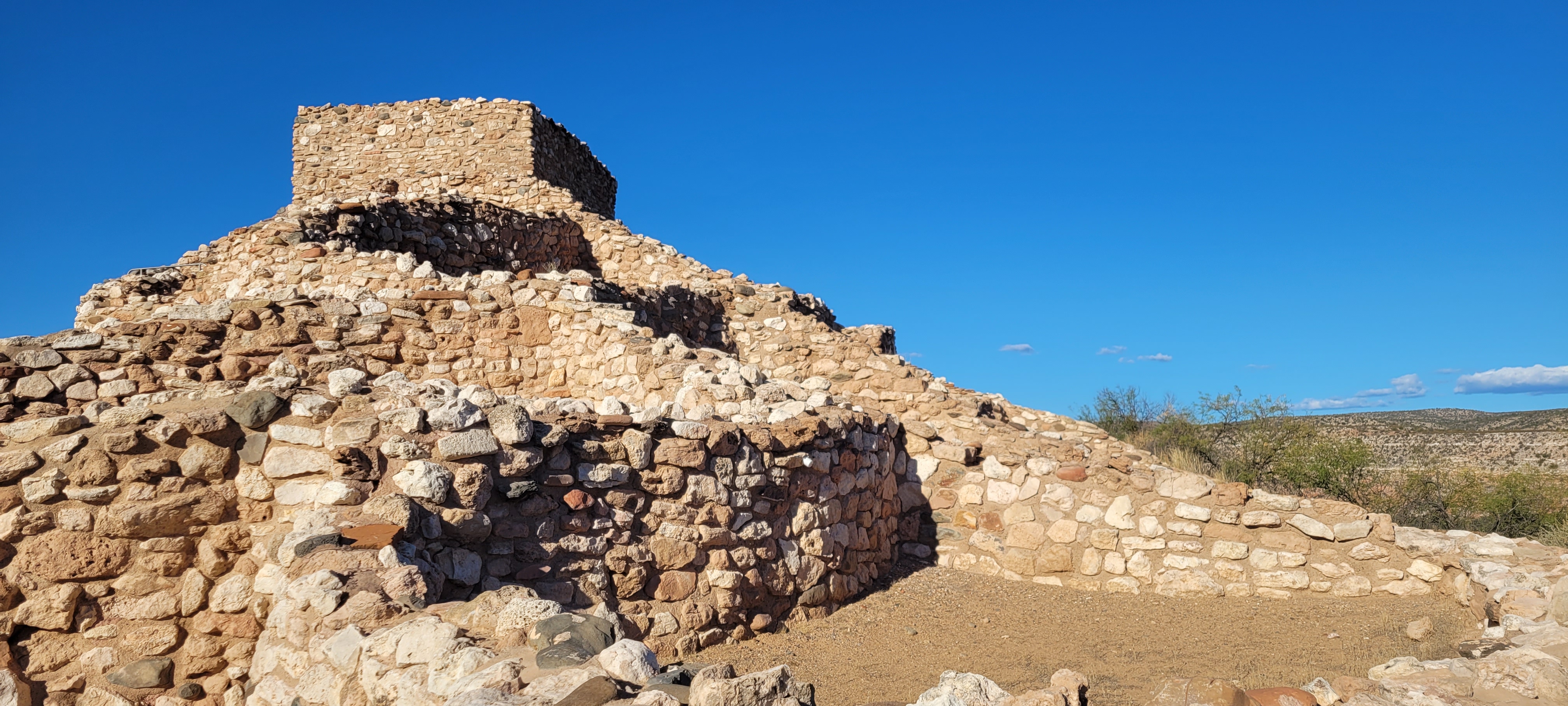
Have you ever wondered what life in the desert would have looked like thousands of years ago? Visitors to Tuzigoot National Monument can look into the lives of the Sinagua , the people who lived here and built the pueblo the park is named for by hiking the Pueblo Trail. The trail is a 0.3 mile (0.5 km) loop that encirc…

View

Visit the Great Kobuk Sand Dunes

Kobuk Valley National Park

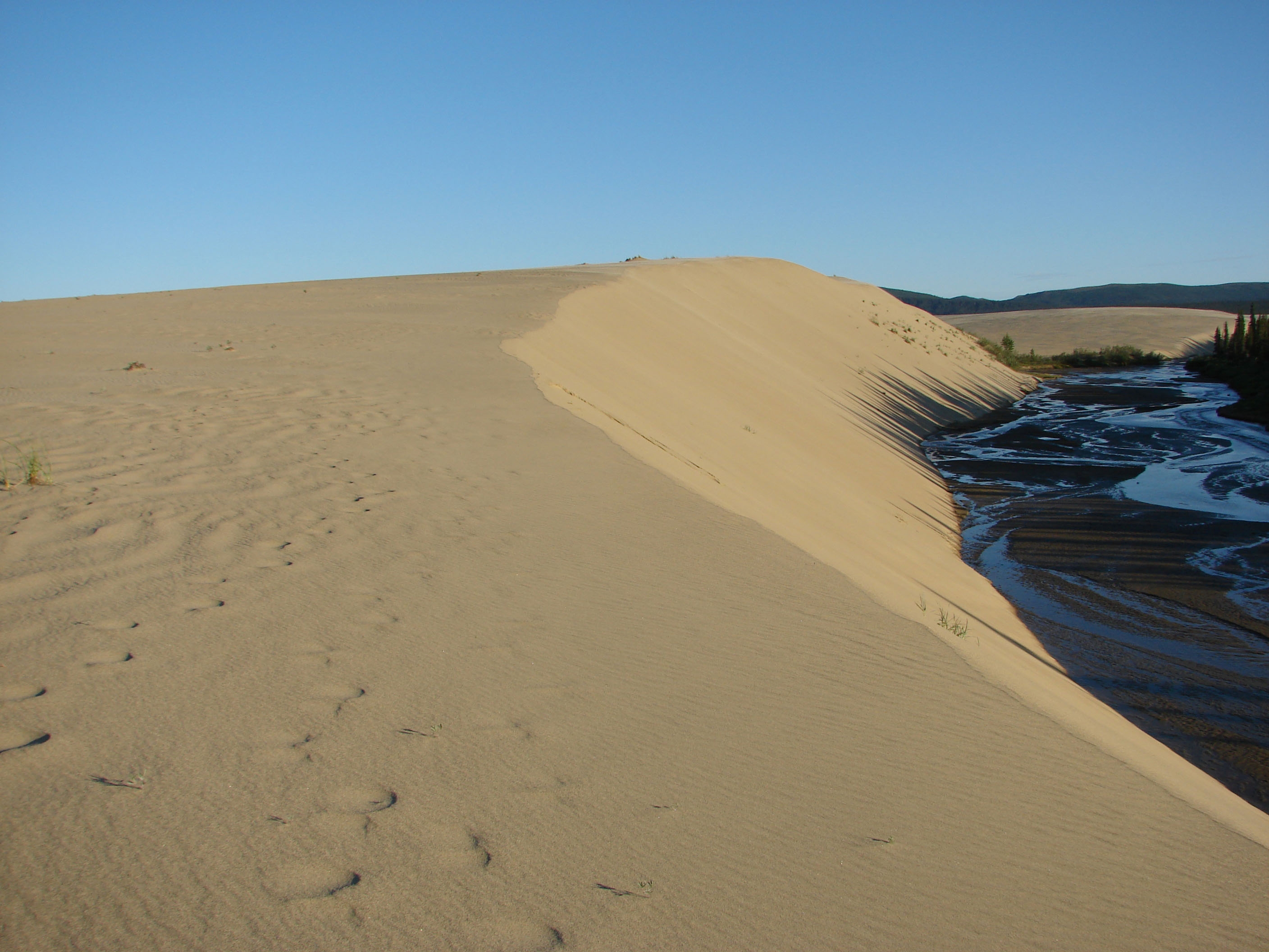
Arctic Sand Dunes The Great Kobuk Sand Dunes are unlike any dune complex in North America. Where else can one discover tracks from grizzly bears, caribou, and wolves converging on such otherworldly terrain? A place where Boreal Forest, tundra, and brush collide with glacially pulverized sand. Most people fly to the Gre…

View

Hike to History Grove

Valles Caldera National Preserve

Located about 0.8 miles (1.3 km) beyond the Volcano Discovery Center, History Grove is one of the last remaining pockets of old-growth forest in Valles Caldera National Preserve. This stand of 200-400 year old ponderosa pine trees towers over the northern edge of Valle Grande, providing cover and habitat for a variety…

View

All parks (26)

Bandelier National Monument
National Monument

Bandelier National Monument

NM

Bandelier National Monument protects over 33,000 acres of ruggedly beautiful canyon and mesa country. Petroglyphs, dwellings carved into the soft rock cliffs, and standing masonry walls pay tribute to the early days of a culture that still survives in the surrounding communities.

Bighorn Canyon National Recreation Area
National Recreation Area

Bighorn Canyon National Recreation Area

MT,WY

The vast, wild landscape of Bighorn Canyon National Recreation Area offers visitors unparalleled opportunities to immerse themselves in the natural world, and experience the wonders of this extraordinary place. With over 120,000 acres, one can find an astounding diversity in ecosystems, wildlife, and more than 10,000 years of human history to explore.

Blackstone River Valley National Historical Park
National Historical Park

Blackstone River Valley National Historical Park

RI,MA

The Blackstone River powered America's entry into the Age of Industry. The success of Samuel Slater's cotton spinning mill in Pawtucket, RI touched off a chain reaction that changed how people worked and where they lived. Learn how this revolution transformed the landscape of the Blackstone Valley and the United States. The Visitor Center at Old Slater Mill is closed for the winter season.

Blue Ridge Parkway
Parkway

Blue Ridge Parkway

NC,VA

A Blue Ridge Parkway experience is unlike any other: a slow-paced and relaxing drive revealing stunning long-range vistas and close-up views of the rugged mountains and pastoral landscapes of the Appalachian Highlands. The Parkway meanders for 469 miles, protecting a diversity of plants and animals, and providing opportunities for enjoying all that makes this region of the country so special.

Capitol Reef National Park
National Park

Capitol Reef National Park

UT

Located in south-central Utah in the heart of red rock country, Capitol Reef National Park is a hidden treasure filled with cliffs, canyons, domes, and bridges in the Waterpocket Fold, a geologic monocline (a wrinkle on the earth) extending almost 100 miles.

Castle Mountains National Monument
National Monument

Castle Mountains National Monument

CA

Castle Mountains represents some of the most unique elements of the Mojave Desert. Nestled between the Nevada state line and Mojave National Preserve, the nearly 21,000 acres of Castle Mountains boasts Joshua tree forests, unbroken natural landscapes, rare desert grasslands, and rich human history. This intriguing area provides serenity and solitude from nearby metropolitan areas.

Death Valley National Park
National Park

Death Valley National Park

CA,NV

In this below-sea-level basin, steady drought and record summer heat make Death Valley a land of extremes. Yet, each extreme has a striking contrast. Towering peaks are frosted with winter snow. Rare rainstorms bring vast fields of wildflowers. Lush oases harbor tiny fish and refuge for wildlife and humans. Despite its morbid name, a great diversity of life thrives in Death Valley.

Delaware Water Gap National Recreation Area
National Recreation Area

Delaware Water Gap National Recreation Area

NJ,PA

Situated within the most densely populated region of the United States, Delaware Water Gap National Recreation Area provides a unique opportunity to experience tranquil landscapes, rich human history, and striking scenery along 40 miles of the longest free-flowing river east of the Mississippi. The park offers year-round recreation including hiking, paddling, fishing, and hunting.

El Morro National Monument
National Monument

El Morro National Monument

NM

Imagine the refreshment of finding water after days of dusty travel. A reliable waterhole hidden at the base of a sandstone bluff made El Morro (the headland) a popular campsite for hundreds of years. Here, ancestral Puebloans, Spanish, and American travelers carved over 2,000 signatures, dates, messages, and petroglyphs. Make El Morro National Monument a stopping point on your travels.

Fort Stanwix National Monument
National Monument

Fort Stanwix National Monument

NY

For centuries, the Oneida Carrying Place, a six-mile portage connecting the Mohawk River and Wood Creek, served as a vital link for those traveling by water from the ocean to the Great Lakes. When Europeans arrived, nations fought for control of the carry, the homelands of the Six Nations Confederacy, and the rich resources of North America. In this struggle, Fort Stanwix would play a vital role.

Gila Cliff Dwellings National Monument
National Monument

Gila Cliff Dwellings National Monument

NM

For thousands of years, groups of nomads used the caves above Cliff Dweller Creek as temporary shelter. In the late 1200s, people of the agricultural Mogollon (Southern Ancestral Pueblo) culture made it a home. They built rooms, crafted pottery and raised children in the cliff dwellings for one or two generations. By approximately 1300, the Mogollon had moved on, leaving the walls behind.

Golden Gate National Recreation Area
National Recreation Area

Golden Gate National Recreation Area

CA

Experience a park so rich it supports 19 distinct ecosystems with over 2,000 plant and animal species. Go for a hike, enjoy a vista, have a picnic or learn about the centuries of overlapping history from California’s indigenous cultures, Spanish colonialism, the Mexican Republic, US military expansion and the growth of San Francisco. All of this and more awaits you, so get out and find your park.

Showing 112 of 26 parks

BETA