Picnic at Katherine Landing
Lake Mead National Recreation Area
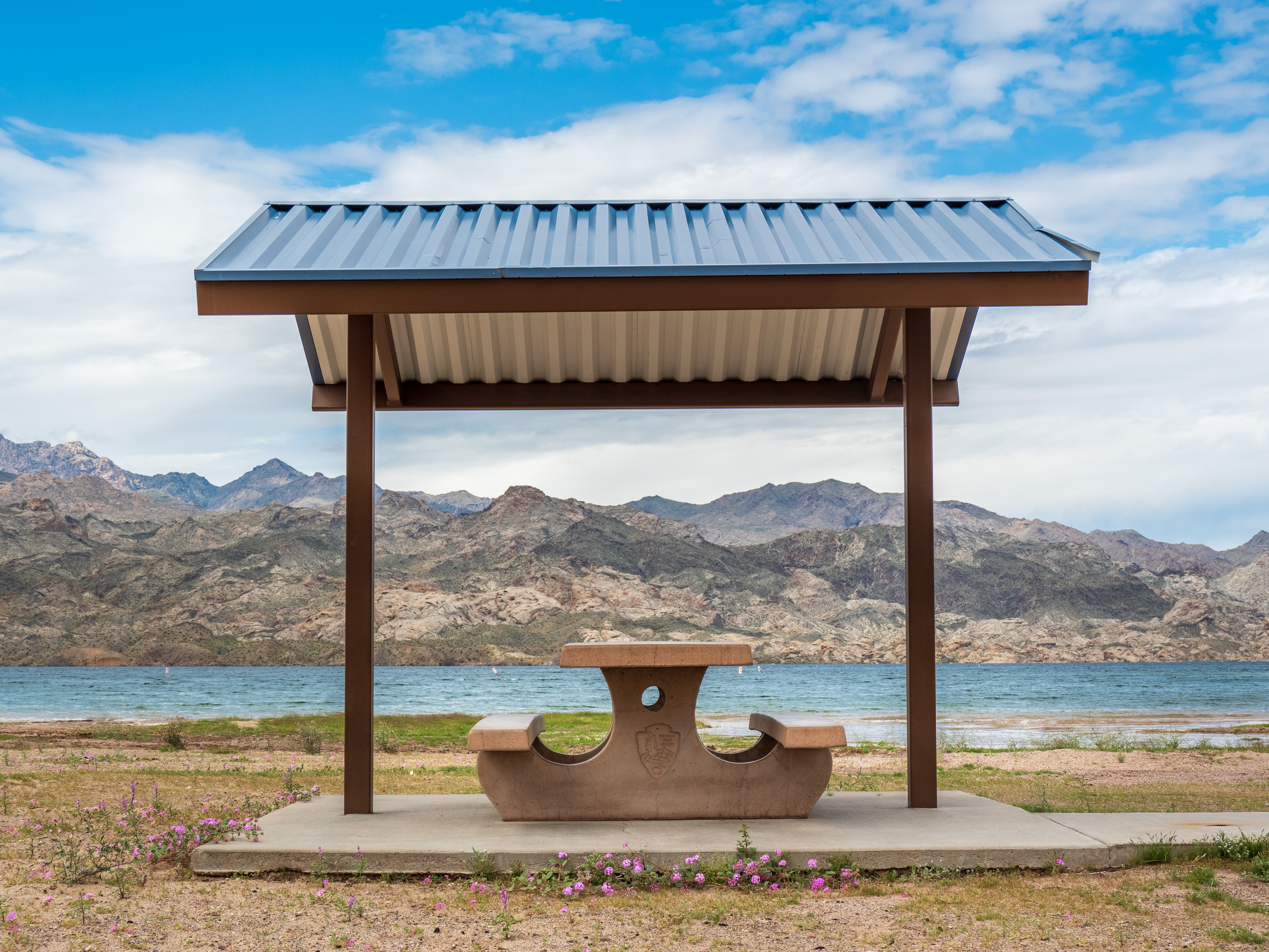
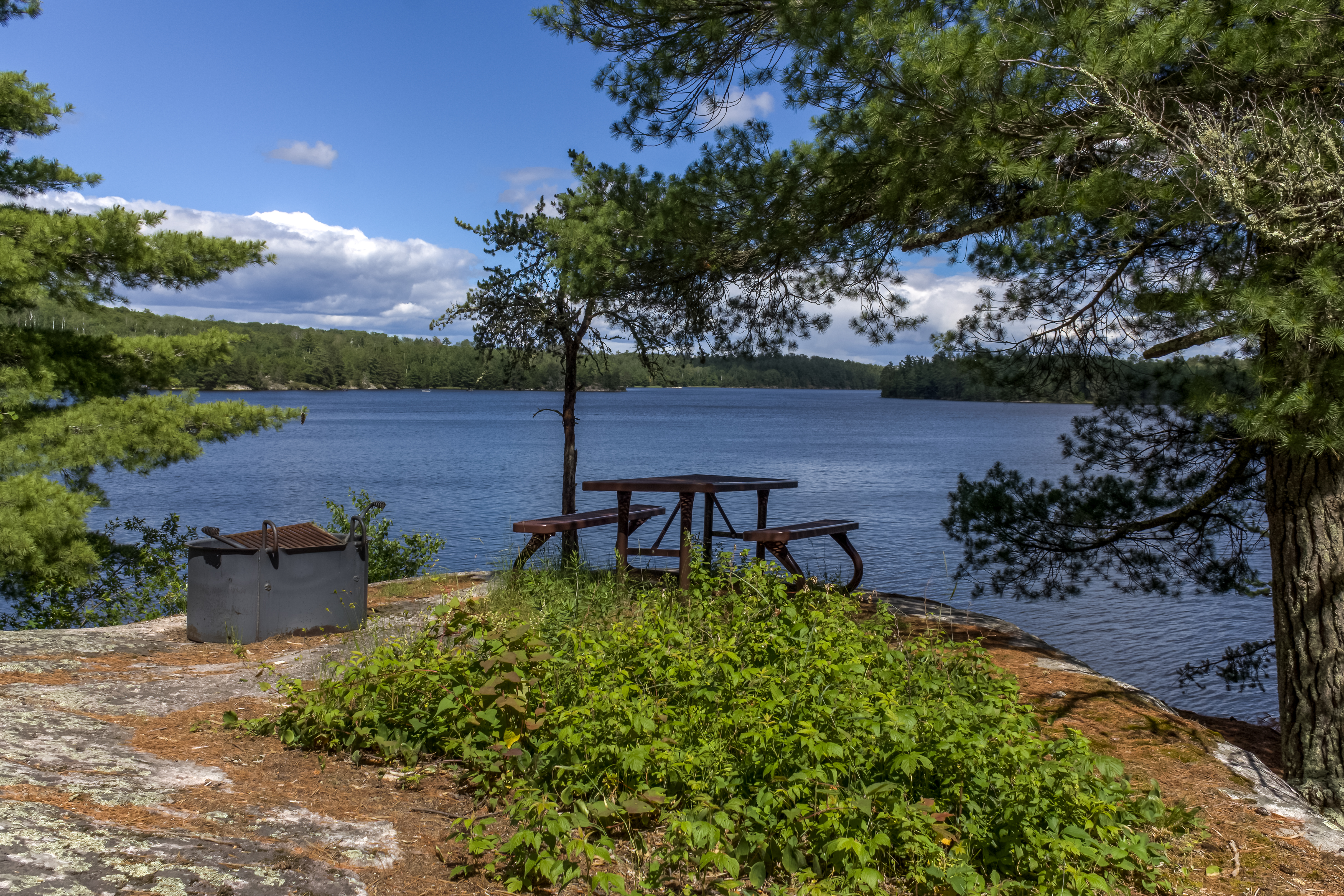
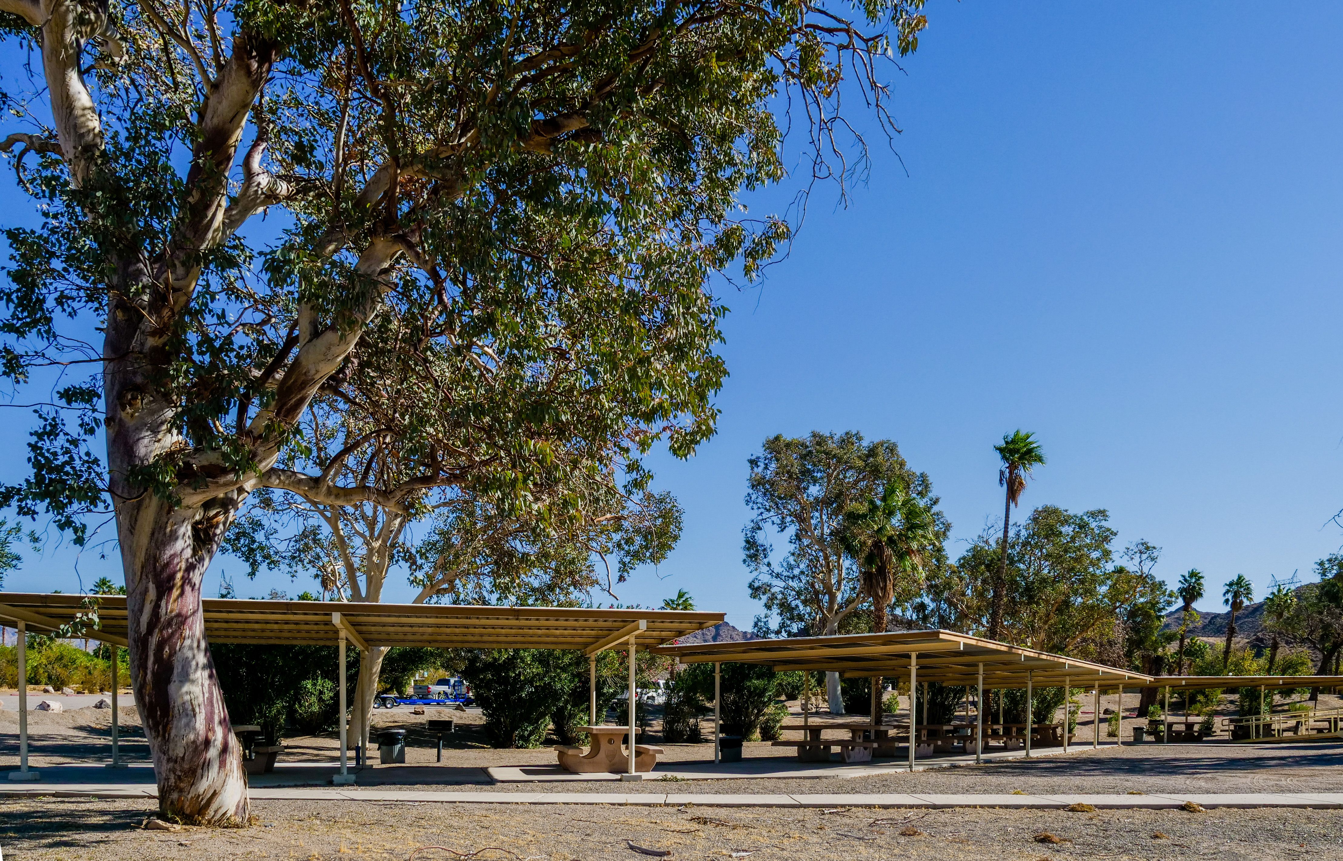
Katherine Landing picnic area features 10 picnic tables, 6 grills, and restrooms. This location does not have drinking water.
Loading parks…
Katherine Landing picnic area features 10 picnic tables, 6 grills, and restrooms. This location does not have drinking water. What comes to mind when you think about fishing? Patience, relaxation, challenge, and memories are a few words often associated with fishing. You will find all that and a sense of stewardship, conservation, and preservation on this page. We want you to have an enjoyable tim…
11 parks and sites (NPS)

Lake Mead National Recreation Area
Katherine Landing picnic area features 10 picnic tables, 6 grills, and restrooms. This location does not have drinking water.

Point Reyes National Seashore
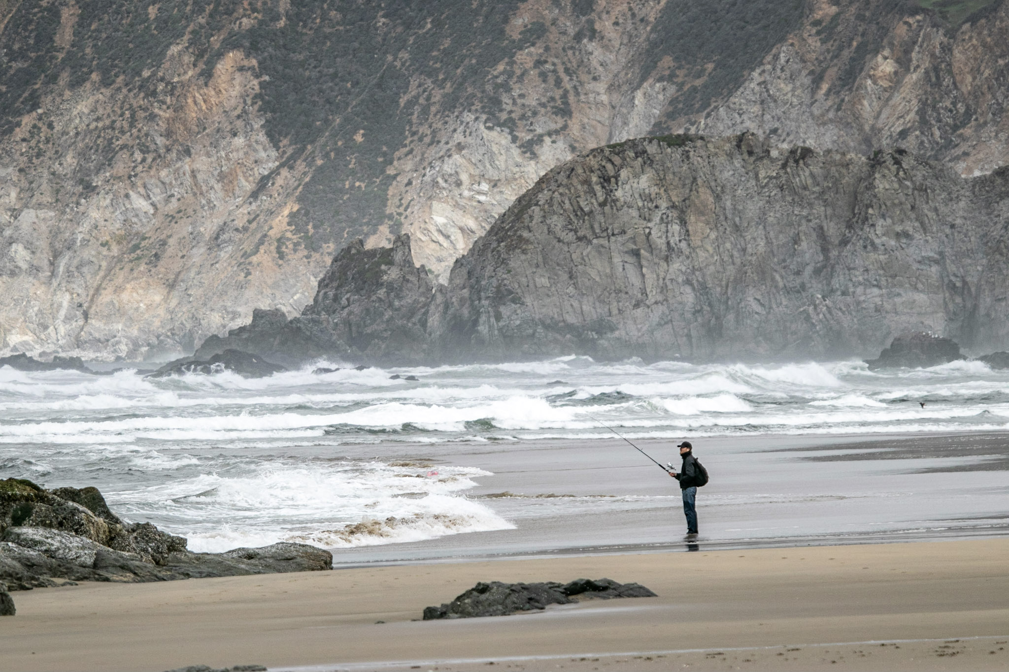
What comes to mind when you think about fishing? Patience, relaxation, challenge, and memories are a few words often associated with fishing. You will find all that and a sense of stewardship, conservation, and preservation on this page. We want you to have an enjoyable time during your visit, and for those who come after you to fish. Take some time to explore, learn what the park has to offer and learn your responsibilities before casting a line or flicking a fly into the water. From shore or by boat, Point Reyes National Seashore allows fishing as a means of providing for public enjoyment, and customary and traditional use, and regulates fishing to ensure that it is managed in a manner that avoids unacceptable impacts to park resources. For more information on fishing at Point Reyes, visit the Fishing at Point Reyes page. Licenses A valid California fishing license is required to fish in the park, and fees vary. Children under 16 years of age do not require a license. Visitors fishing within Point Reyes National Seashore must follow the fishing license requirements in accordance with the laws and regulations of the California State Fish and Wildlife regulations . Fishing Regulations Per the Code of Federal Regulations Title 36 Chapter I Part 2 Section 2.3 , fishing shall be in accordance with the laws and regulations of the State of California except as provided in the Prohibited Practices and Regulations specific to Point Reyes sections on the park's Fishing page. Where there is a conflict between a state regulation and a federal (NPS) regulation, the state regulation is superseded by the federal regulation. For state fishing regulations, please visit the California State Fish and Wildlife regulations website. For more information on how NPS fishing regulations work, go to the regulations page on the NPS Fish and Fishing website's How Regulations Work page. Where to fish Fishing is allowed in Tomales Bay, from most park beaches, and in freshwater lakes and ponds. Anglers fish from shore or by boat. Always check the weather and marine forecasts before kayaking, canoeing, boating, etc. Visit our Your Safety While Boating page for information on preparing for and remaining safe while boating in the Point Reyes area. To better protect endangered and/or threatened species of fish or to preserve critical habitat, fishing is prohibited in: Lagunitas Creek and al…

Lake Mead National Recreation Area
South Arizona Telephone Cove picnic area features 6 picnic tables. This location does not have grills, restrooms, or drinking water.

Voyageurs National Park
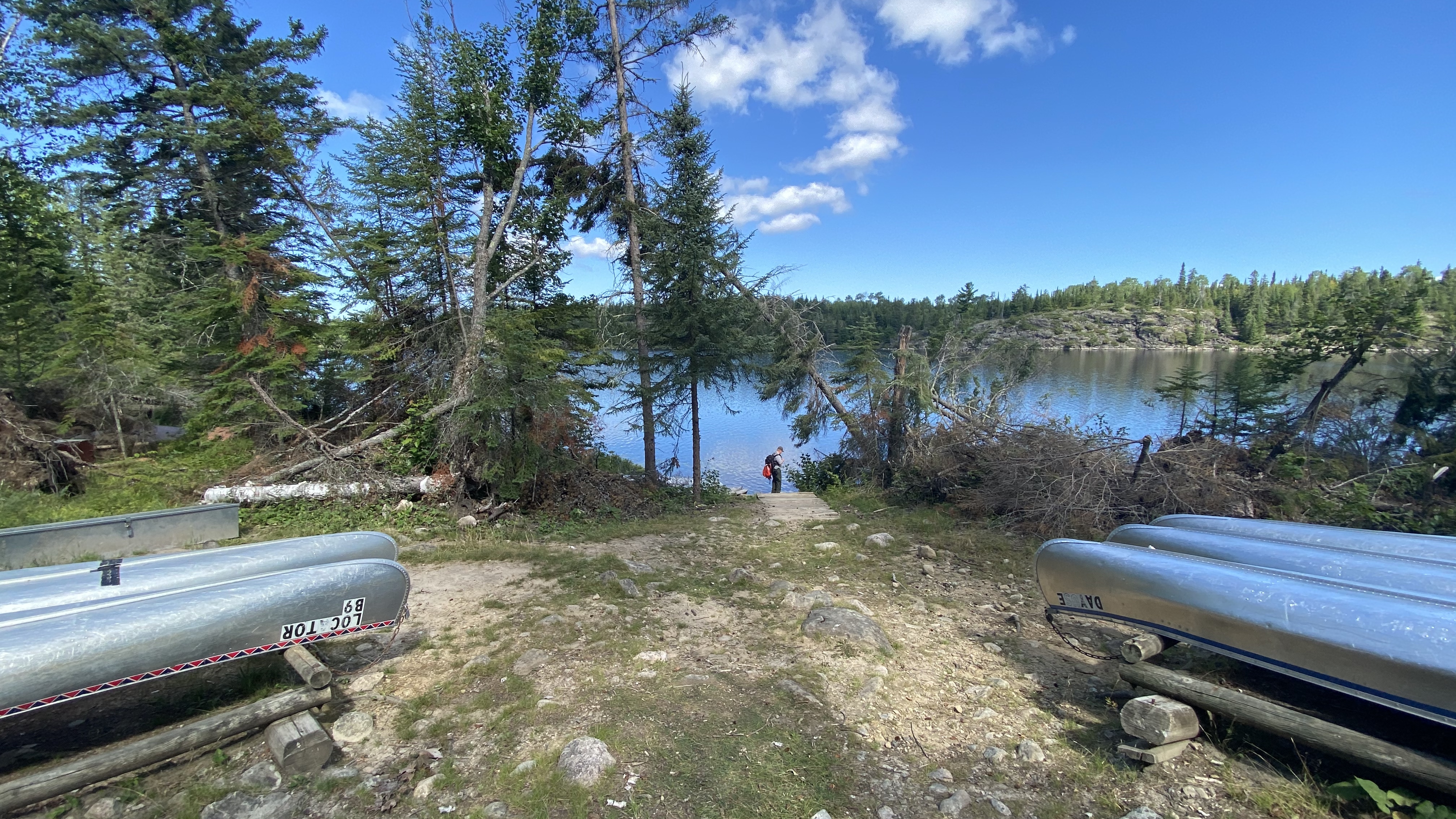
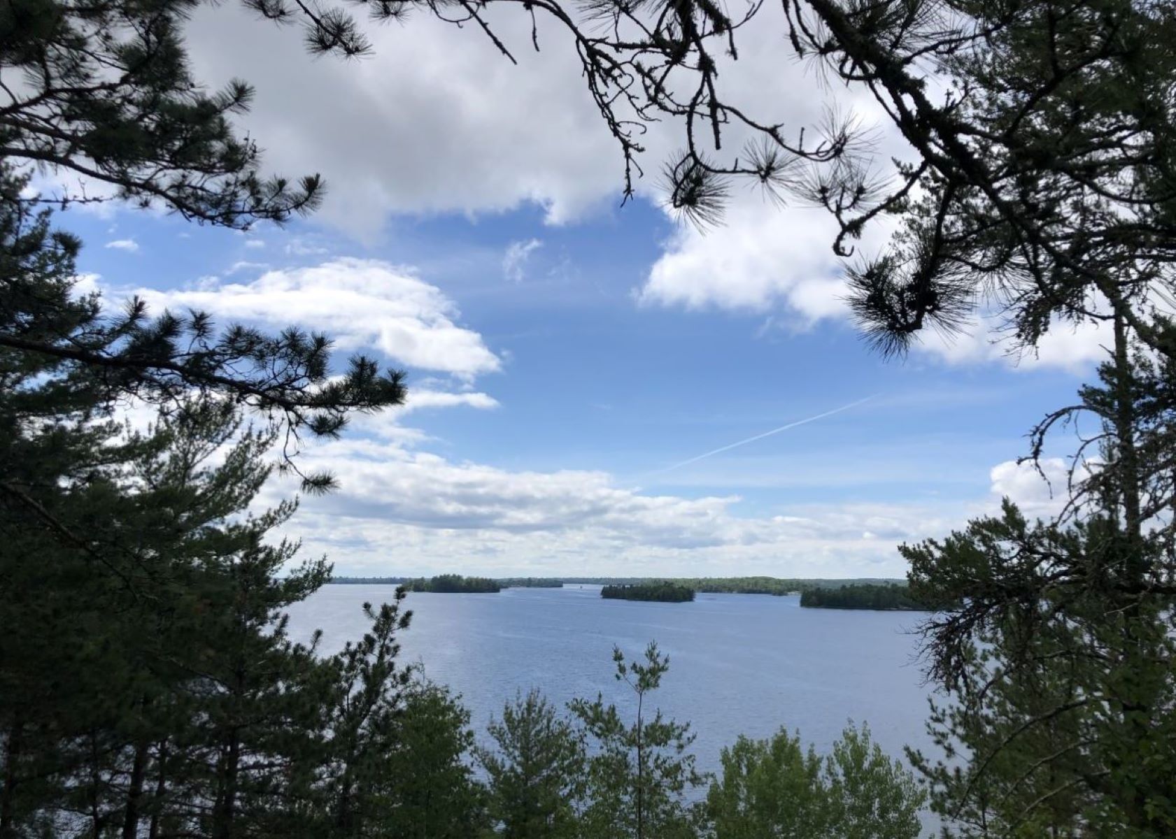
Watch this video of the Locator Lake Trail to learn how to gain access into our Chain of Lakes! Please note: The Cranberry Creek Portage Trail from Rainy Lake has been permanently closed. Access to the Chain of Lakes is via the Locator Lake Trailhead on the north shore of Kabetogama Lake. All backcountry trailheads are only accessible by water. The Locator Lake Trail takes adventurous hikers up and over various ridges. It twists its way through forest and wetlands while extending north from Kabetogama Lake until it ends on the southern shoreline of Locator Lake, one of a series of unique interior lakes with rental canoes and reservation only campsites. Explore this two mile, one way hike as an afternoon adventure, or use it as a starting point for an exciting back-country camping experience that will remain in your memories for years to come. For more information about camping in Voyageurs National Park, please visit: Camping at Voyageurs National Park - Voyageurs National Park (U.S. National Park Service) (nps.gov) Difficulty: Strenuous Hiking Distance: 4 miles(6.4-km), round trip Restrooms: Vault toilet at both trailheads Download map.

Voyageurs National Park
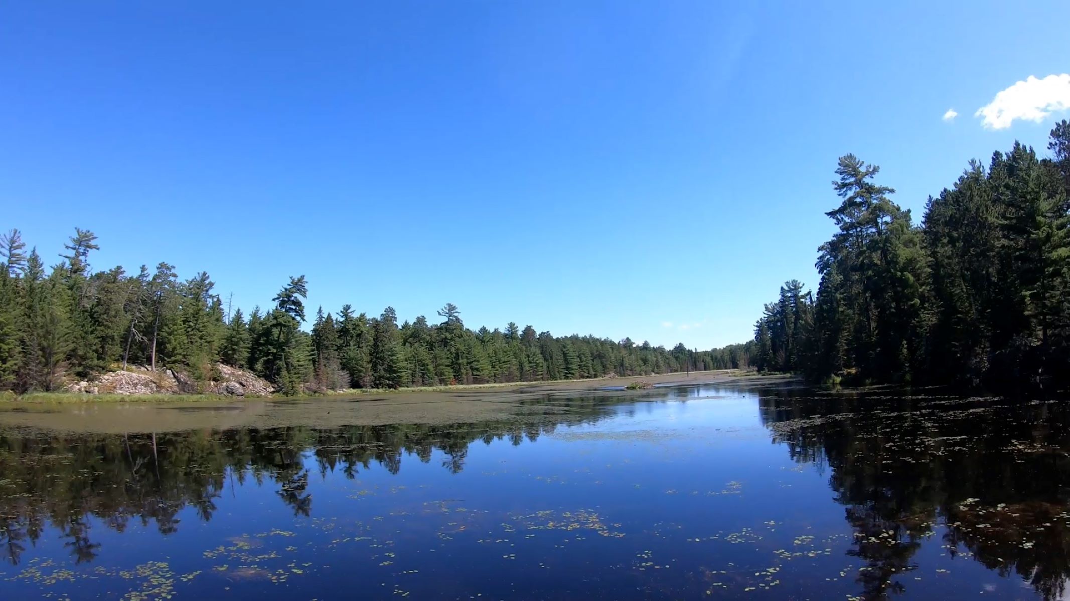
Watch this video timelaspe of hike to an active beaver pond! All back country trail heads are only accessible by boat. Take a boat one mile from the Rainy Lake Visitor Center and hike this trail through northern pines, deciduous trees, and across rock ridges to a scenic active beaver pond. Difficulty: Moderate Hiking Distance 1.2 mile (1.9 km) round trip Restroom: Vault toilet is available near the trailhead Download map.

Hike the Oberholtzer Trail
Voyageurs National Park
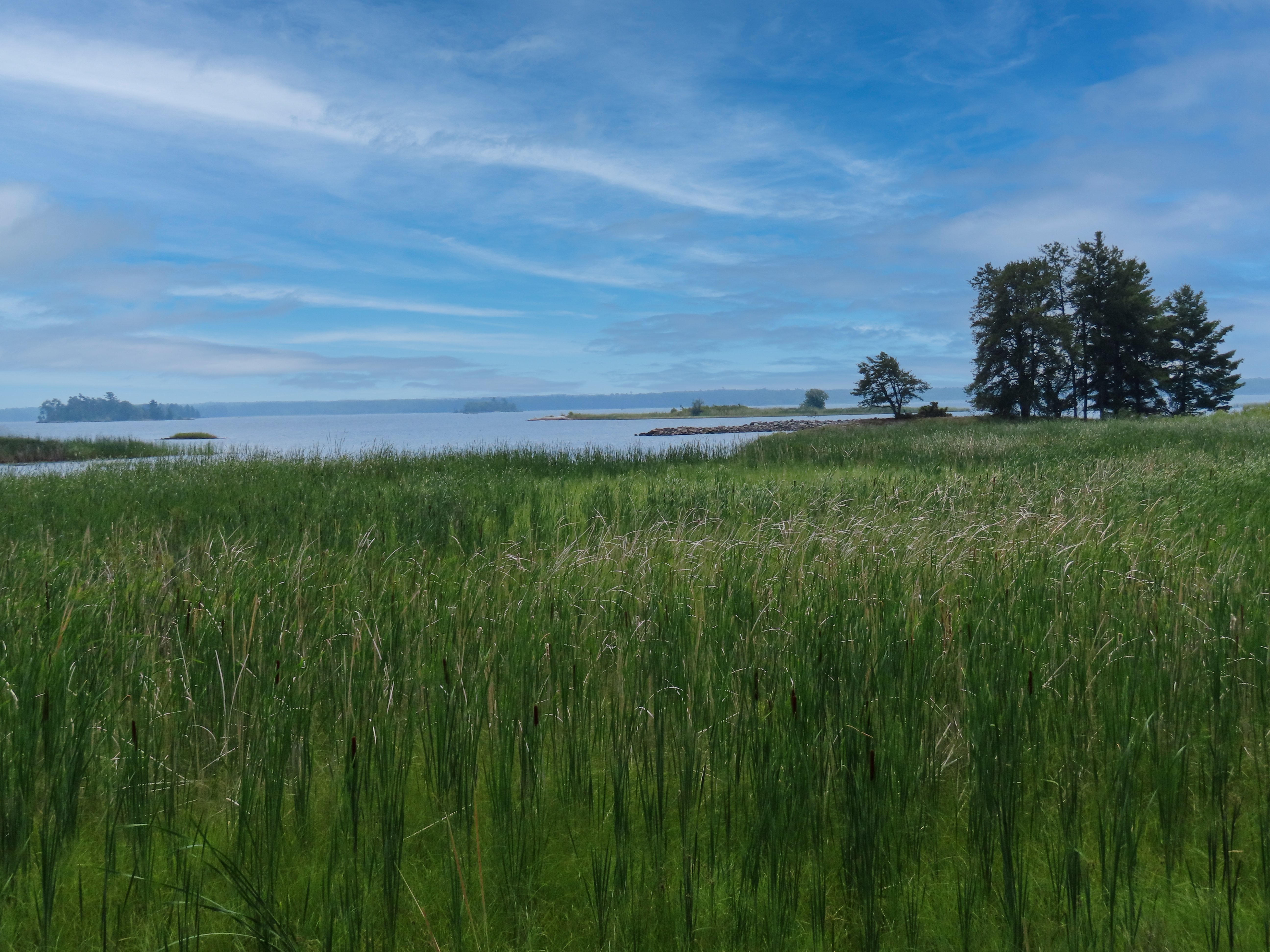
View the Oberholtzer Trail before you hike by watching this video link! Wander through deciduous and conifer forest as the trail twists around the edge of a cattail filled wetland and past rocks deposited by ancient glaciers. Look for signs of wildlife as you hike to two different overlooks with marsh and lake views. Difficulty: Easy Hiking Distance: 1.6 miles(2.6 km) round trip, 0.5 miles (0.8 km) round trip for the accessible part Download map.

Hike Blind Ash Bay Trail
Voyageurs National Park
Watch a video of the Blind Ash Bay Trail before you go! This narrow, winding, rocky trail exposes users to the wonders of the boreal forest. This path is great for birding. It is frequented by deer and other wildlife. From closed in forest to post card worthy views of Kabetogama Lake, this lollipop loop trail has it all. Difficulty: Moderate Hiking Distance: 2.9 miles (4.7 km) loop Download map.

Hike the Sullivan Bay Trail
Voyageurs National Park
Experience the Sullivan Bay Trail with a timelaspe video!!! This easy hike along an old forest road leads you through both coniferous and deciduous forest. The trail ends at a viewpoint on Sullivan Bay with a picnic table and fire ring. It treats those who are interested in geology with lots of exposed rock, created by volcanic activity over 2 billion years ago. Difficulty: Easy Hiking Distance: 1.5 mile(2.4 km) Round trip Download map.

Hike Pemetic South Ridge
Acadia National Park
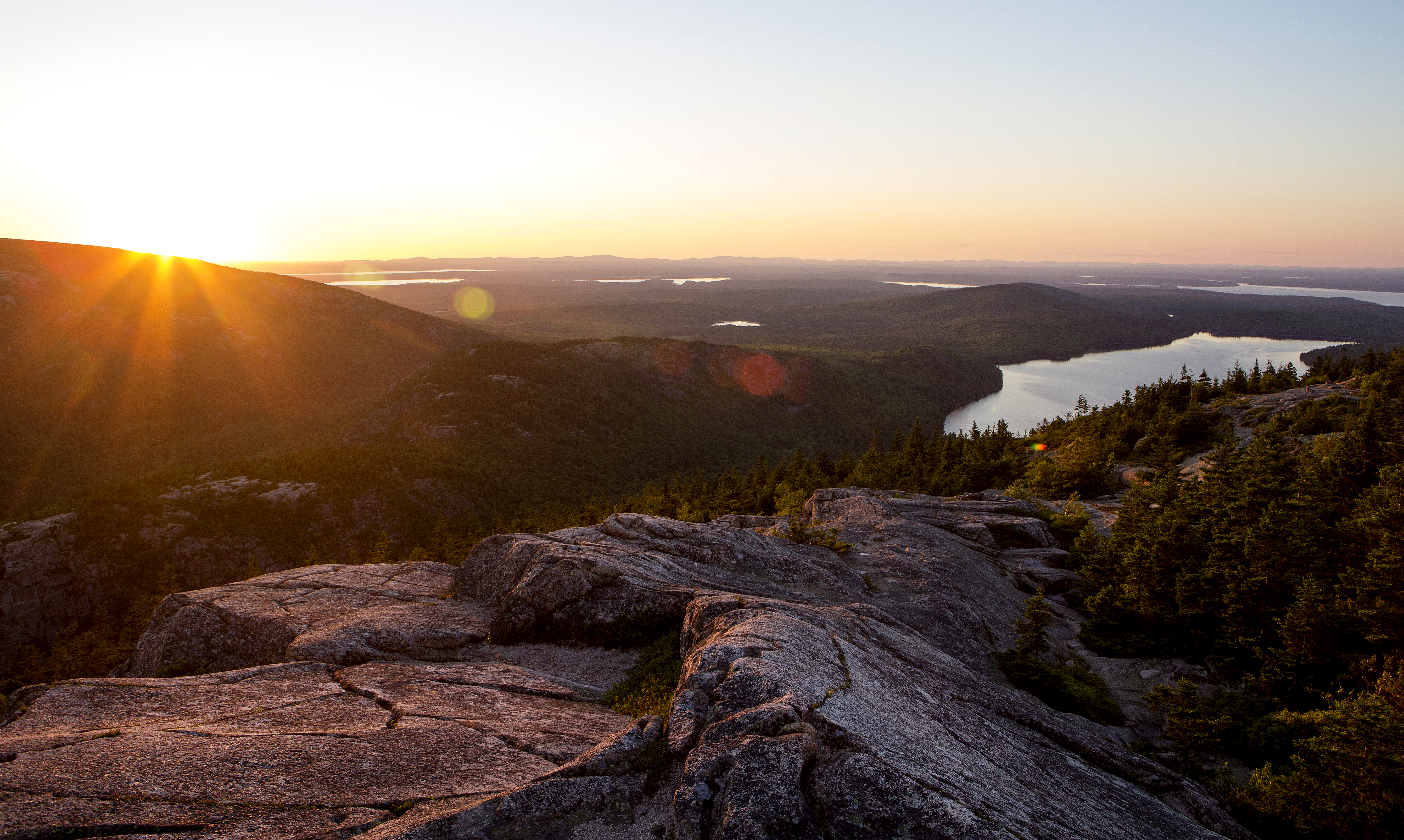
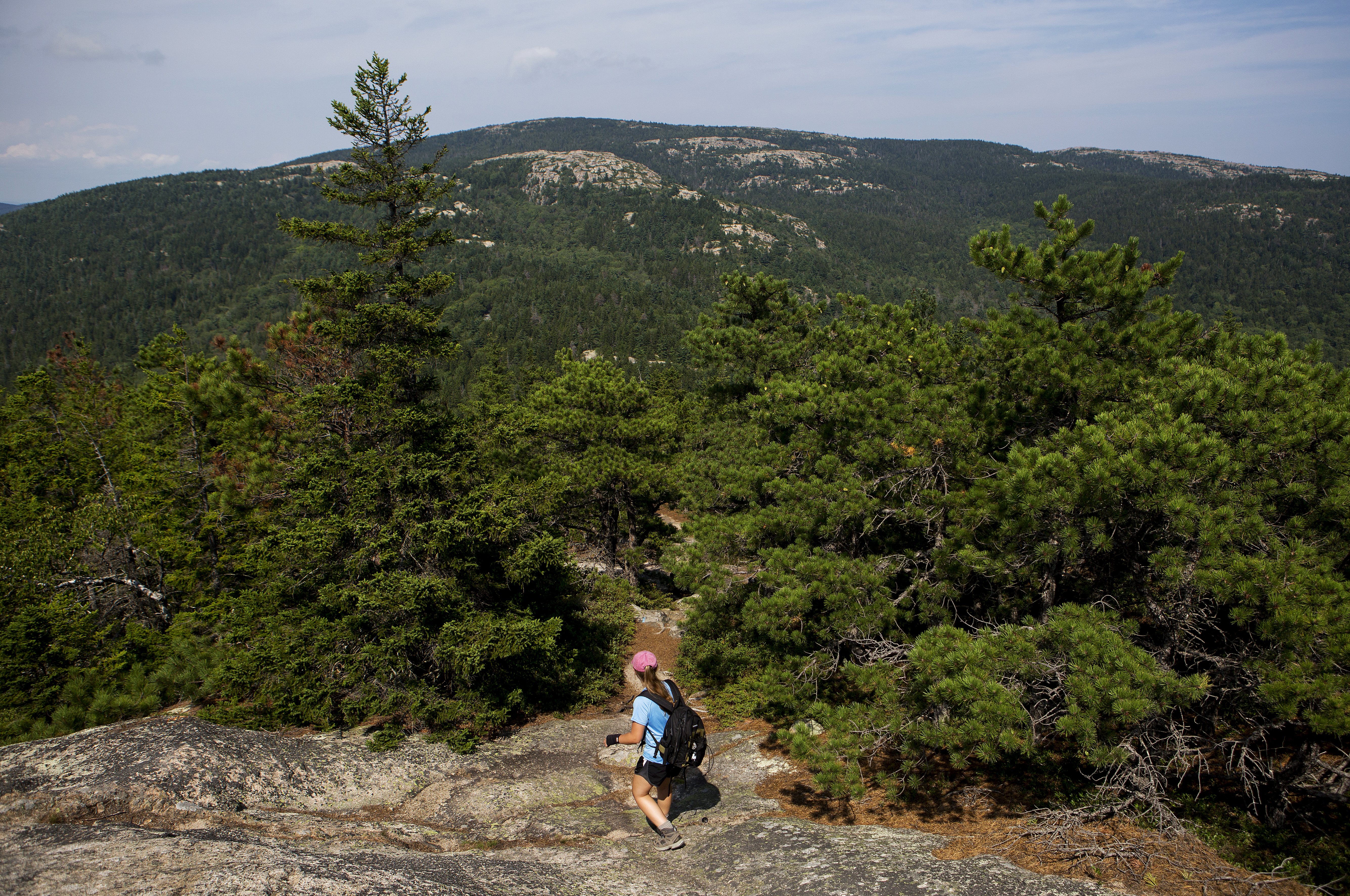
Sitting in between two iconic locations in Acadia National Park, Cadillac Mountain and Jordan Pond, is Pemetic Mountain. This spectacular mountain gives those who summit it panoramic views of Jordan Pond, Eagle Lake, Cadillac Mountain, and the bold coast of Maine stretching towards the horizon in every direction. Enjoy simple dirt trails and granite ridgeline throughout this hike. Distance: 2.0 miles one-way. 4.0 miles round trip. Terrain: The trail is rocky with uneven footing. Good foot wear is recommended. Rocky granite, short steep sections. Hiking in inclement weather is advised. Hike Description The hike begins at the end of the Jordan Pond North Parking. The trail head is north of the pit toilet. Follow this trail 0.1 miles where it comes upon the Jordan Pond Path. Turn right on Jordan Pond Path and cross the stone walkway. At the end of this walkway there is a stump that has Jordan Pond Path with an arrow carved into it. There is a trail that goes right at this post with no name. Take this trail. Follow this trail 0.1 miles where it will run into the Park Loop Road. Safely cross this road and continue walking what is called the Bubble and Jordan Pond Path. Continue another 0.4 miles on this dirt and granite step path until you reach the trail marker for Pemetic South Ridge. Ascend the south ridge of Pemetic Mountain for 1.3 miles. This trail involves uneven ground, shorter rock scrambles, and granite ridgeline. It will slowly climb out of the forest exposing dramatic vistas in every direction as the trail approaches the summit at 1248 ft. Return back to Jordan Pond the same way to complete this hike.

Hike Norumbega Mountain Loop
Acadia National Park
The Norumbega Mountain Loop features a steep hike up to the summit of Norumbega Mountain, then a gradual descent in the forest before hiking along the western shore of Lower Hadlock Pond. Portions of hike are on boardwalks since the trail goes over boggy areas. Distance: 3.2 miles round trip Terrain: The trail is rocky with uneven footing. Short, steep granite sections throughout. Some boardwalk sections along the pond's edge. Hike Description The Norumbega Loop starts on the northern end of the parking area. Follow signs for the Goat Trail. The Goat Trail quickly ascends a steep section with granite boulders It joins with the Norumbega Mountain Trail along the ridge, and directly to the left of the signposts is the true summit of Norumbega Mountain at 852 ft. The trail descends gradually through a forested area with some views of Somes Sound. At the bottom, it reaches Lower Hadlock Pond and turns left on the Hadlock Pond Trail along the shoreline. The trail has some rooted sections and boardwalks over boggy areas before reaching a small waterfall where water flows from Upper Hadlock to Lower Hadlock Pond. At the junction, take the Norumbega Connector to lead back to the parking area. For a longer hike, add .4 miles by following the Hadlock Ponds Trail around Upper Hadlock Pond and Hadlock Brook Trail back to the highway.

Hike Jordan Pond Path
Acadia National Park
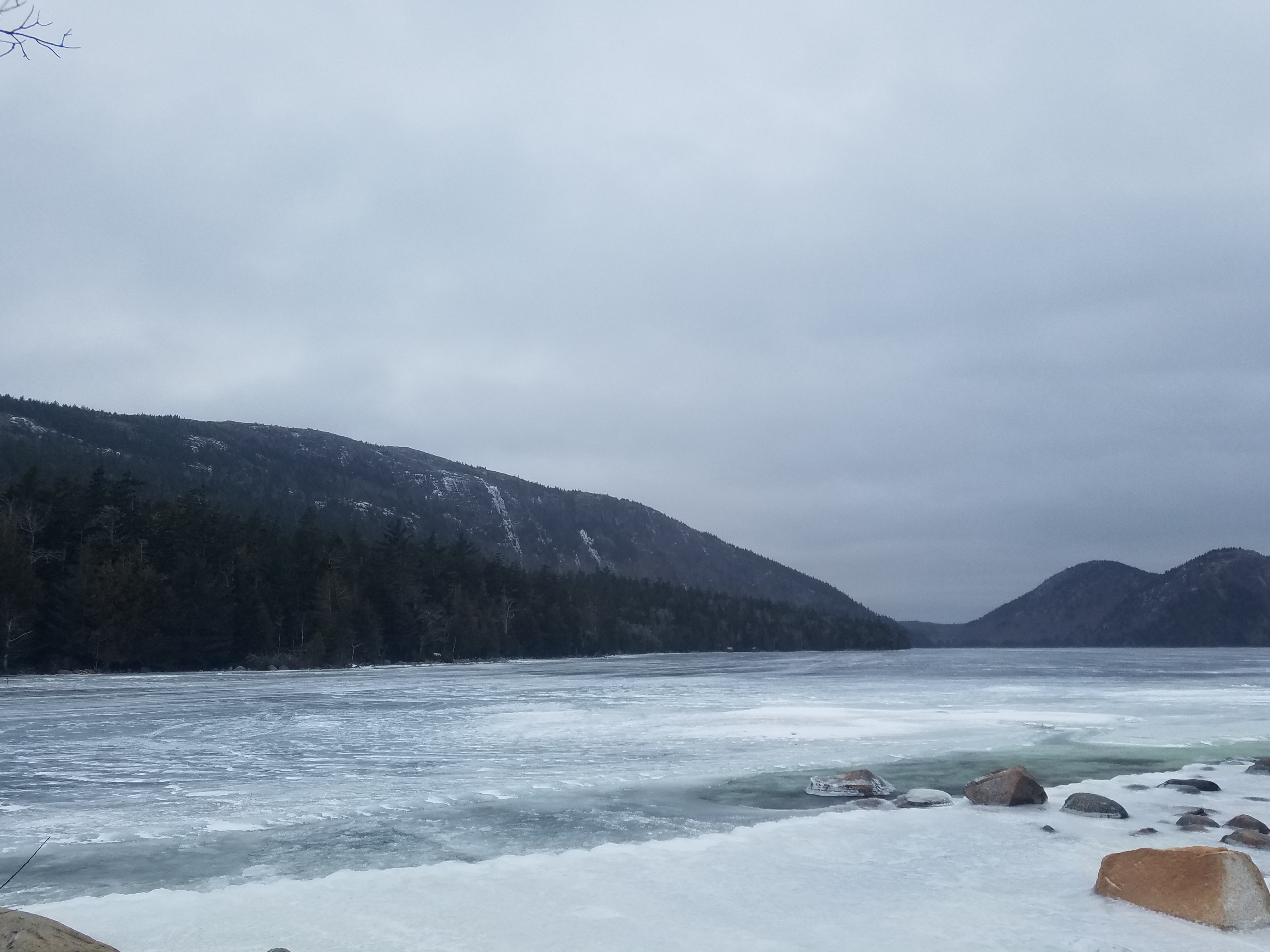
The Jordan Pond Path traverses the shore of Jordan Pond, one of Acadia’s most iconic landscapes. Located in a steep valley carved out by the retreat of glaciers, Jordan Pond is bordered by Penobscot, Pemetic, and two rounded peaks known as the Bubbles. Listen for the calls of common loons, search for signs of beaver activity, and watch the granite cliffs above for nesting peregrine falcons. Distance: 3.3 mile loop Terrain: Forested areas with uneven footing on wooden boardwalks, rocks, and footbridges Jordan Pond is designated public water supply, so wading and swimming are prohibited at all times. Hike Description Note: The western half of the Jordan Pond Path is significantly more difficult than the eastern half, and may be challenging for families with small children, seniors, and people with mobility impairments. The full loop consists of the eastern half, a short walk along the coast at the northern end of the pond, and a trek back to the trailhead along the western half (or said route in reverse). Visitors are encouraged to begin with the eastern half of the loop in case they choose to turn around, and the description below follows this order. See the photo gallery below the description for visual references. At several points along the Jordan Pond Path, it intersects with other trails. Please check the difficulty and elevation profiles of these trails and make sure you are prepared before choosing to hike them. Eastern Half Start at the boat launch for Jordan Pond. Turn right and follow along the east shoreline. The path is defined by even terrain and crushed stone underfoot. Use caution on stepping stones and bridges that allow water to flow from the slope above. About two-thirds of the way along the eastern half of the loop, the Jordan Pond Path intersects with the Bubbles Trail and Jordan Pond Carry. This half of the Bubbles Trail leads to South Bubble and Bubble Rock. Continue along the path to reach the northern end of the pond, which is marked by the Bubbles Divide Trailhead, as well as the Jordan Pond Buoy and two wooden log bridges slightly further along. Western Half Starting from the wooden bridges, continue along the path into the forest. Shortly after the bridge, the path intersects with the Deer Brook Trail, which crosses the Eagle Lake/Jordan Pond carriage road and eventually intersects with trails leading to Sargent Peak and Penobscot Peak. The forest then gives way to an open, rocky area consisting of boulders that broke off from the sheer cliffs above. This area, while mostly level, involves stepping stones, uneven footing, and may require some scrambling. Use caution when climbing the rocks. After the rocks is a raised wooden plank boardwalk through a forested area. Please stay on the path to protect vegetation. At the end of the plank boardwalk, the path follows a short walk through the forest before coming to a small stone bridge. The gravel trail crossing the bridge is the Eagle Lake/Jordan Pond carriage road. Visitors may turn right after the bridge to continue along the carriage road, which intersects with the Jordan Stream Path further down. To finish the Jordan Pond Path, turn left after the bridge into the small stone courtyard. Follow the shoreline to return to the Jordan Pond Path Trailhead.
Hike Hadlock Ponds Loop
Acadia National Park
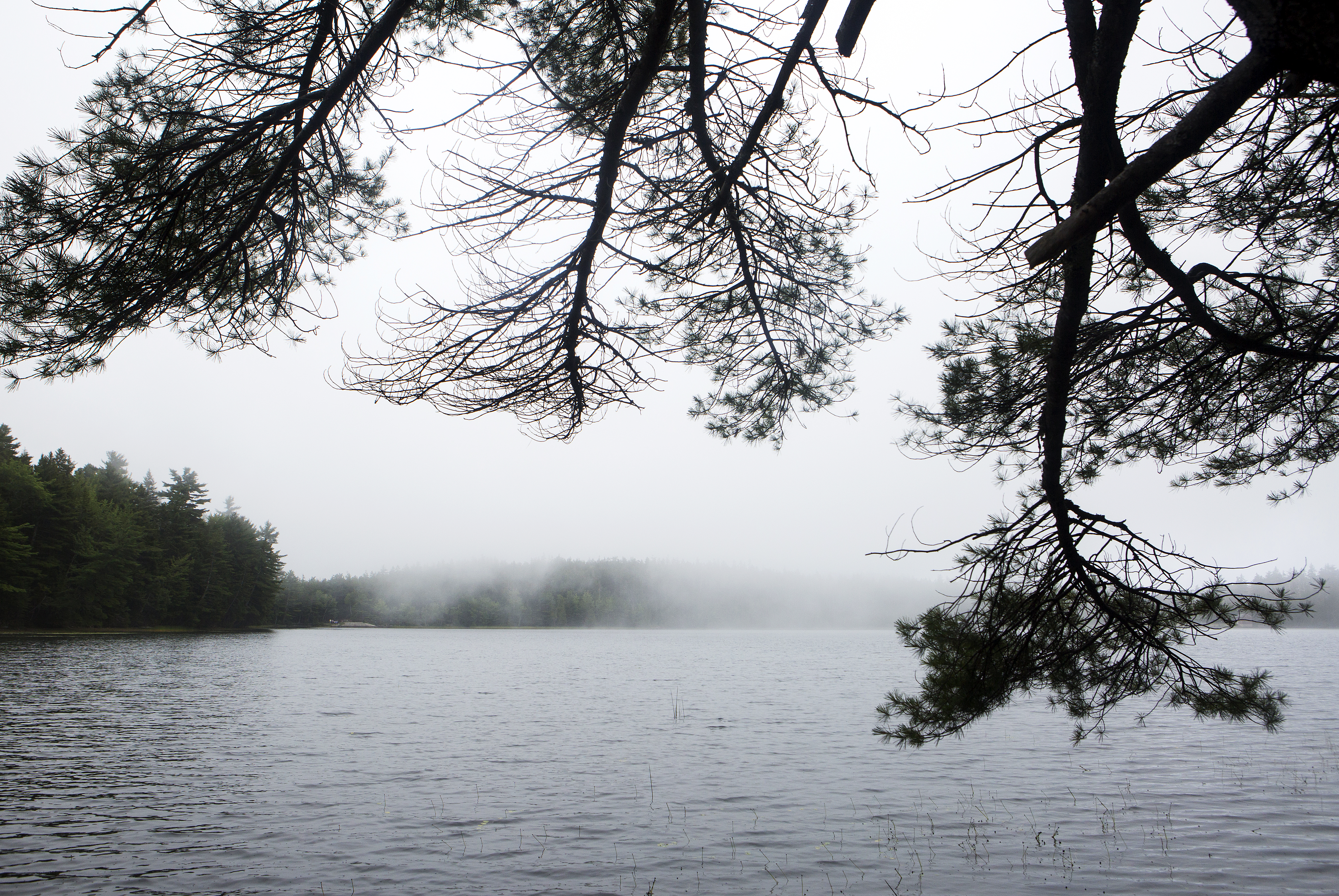
Serene woods, babbling brooks, and crystal clear ponds accompany hikers throughout this walk. Enjoy boardwalks, wooden bridges and some uneven terrain on this figure eight trail that includes both Lower and Upper Hadlock Ponds. Listen for the iconic wail of common loons who can be seen on this hike. Distance: 4.1 miles round trip Terrain and Safety: The trail has places with uneven footing. Bog walks can be narrow and slippery when wet. Good footwear is recommended. Hike Description Park at the Norumbega Mountain parking area. This is a parking area on Route 198 that is a pull through parking area on the western side of the highway. Cross Rt. 198 safely and begin walking on the Hadlock Ponds Trail. The Hadlock Ponds Trail begins with a dirt path through the woods. Follow this trail 0.5 miles past multiple other trail intersections and two carriage road intersections. Always make sure to continue on the trail directed to by a sign with Hadlock Ponds Trail carved into it. Continue another 0.7 miles after the last carriage road intersection to begin following the edge of Upper Hadlock Ponds. Watch out for uneven terrain and roots within the trail. As the trail parallels the pond it does become a narrow bogwalk. Appropriate footwear with good traction is recommended. Bogwalk is very slippery when wet. Caution is advised. The trail will intersect with Route 198. Safely cross Route 198 and continue on the Hadlock Ponds Trails for 0.3 miles. The trail winds it way past brooks and many vernal pools in this section. Pay close attention to the blue blazes that mark the trail. The Hadlock Ponds trail splits at Lower Hadlock Pond. Take a left to continue around the pond. Follow this trail 1.6 miles to circle Lower Hadlcok Pond in its entirety. Once the loop has been completed around Lower Hadlock Pond, return back up the trail first taken after crossing Route 198. In 0.1 miles there will be an intersection with the Norumbega Connector Trail. Take this trail 0.9 miles through spruce woods back to the Norumbega Parking area. This trail has a lot of tree roots. Sturdy footwear is recommended. The Hadlock Ponds loop is 4.1 miles round trip. However, there are many ways to shorten this hike if desired.

Phelps Lake Loop
Grand Teton National Park
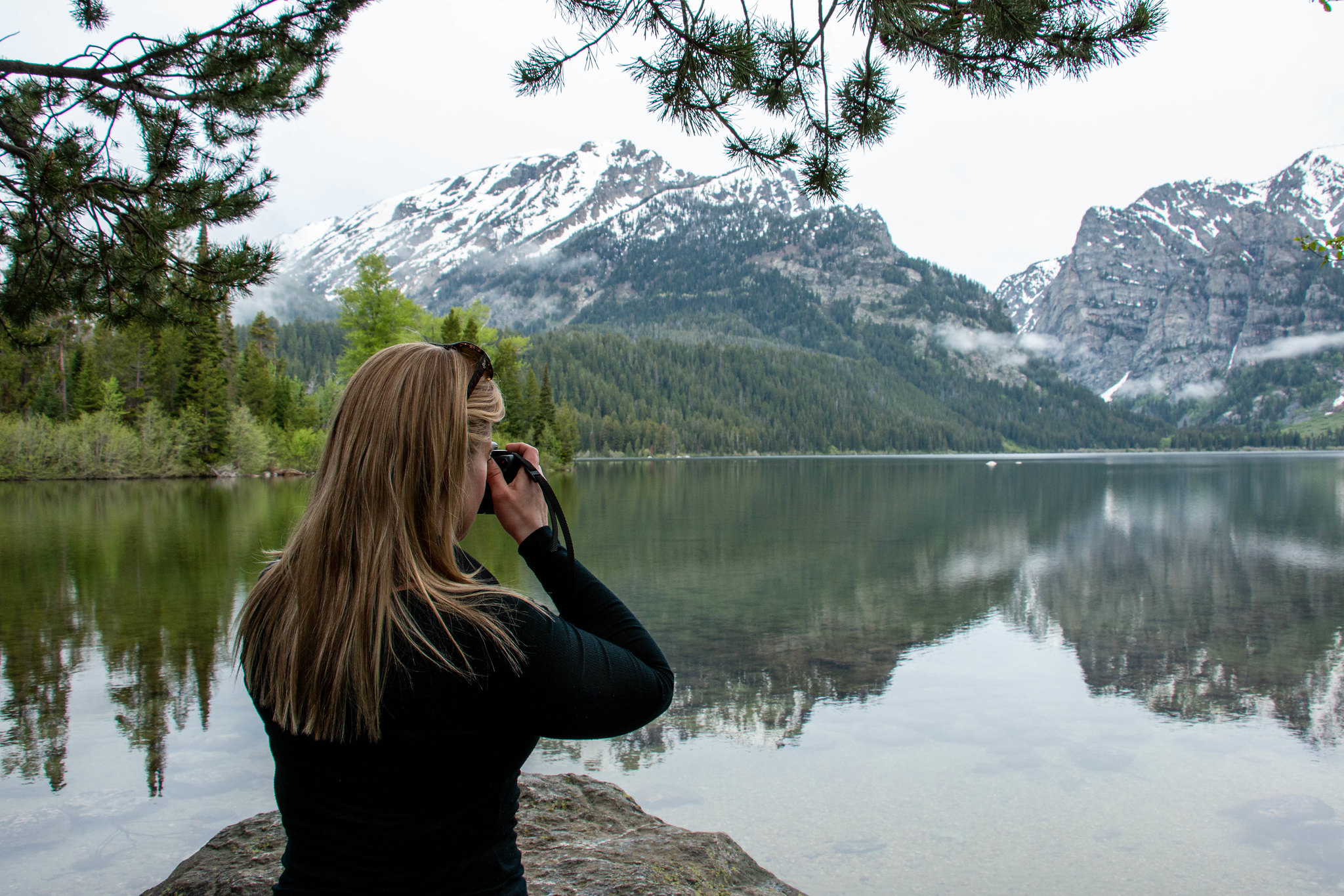
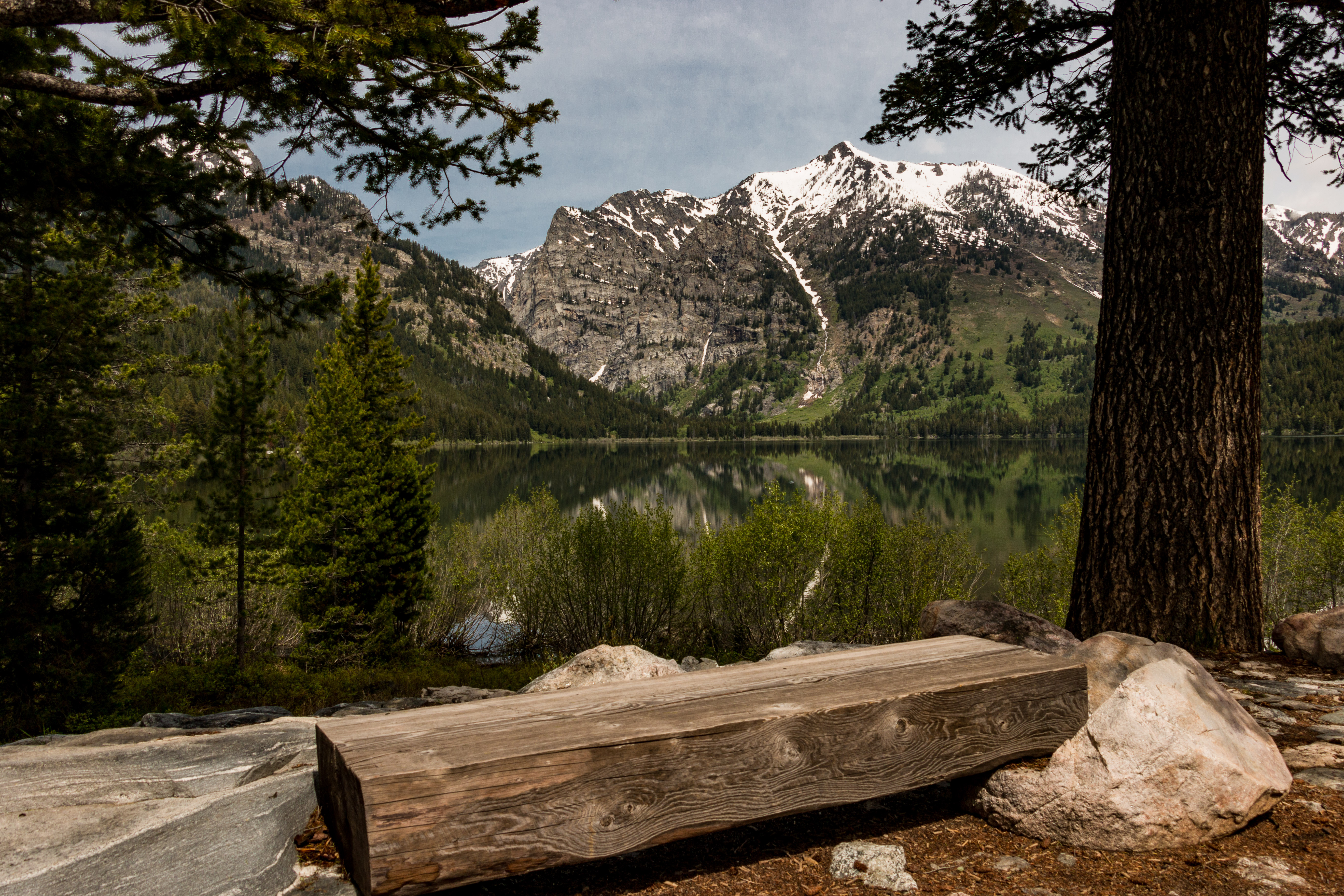
This moderate loop hike provides access to Phelps Lake as well as views into Death Canyon and the southern end of the Teton Range. Start the trail from the Laurance S. Rockefeller Preserve and follow the trail as it loops Phelps Lake. Those looking to extend the hike can add the Aspen Ridge or Boulder Ridge trails on the way to and from the lake.

Hiking the Yockanookany Section of the Natchez Trace National Scenic Trail
Natchez Trace Parkway
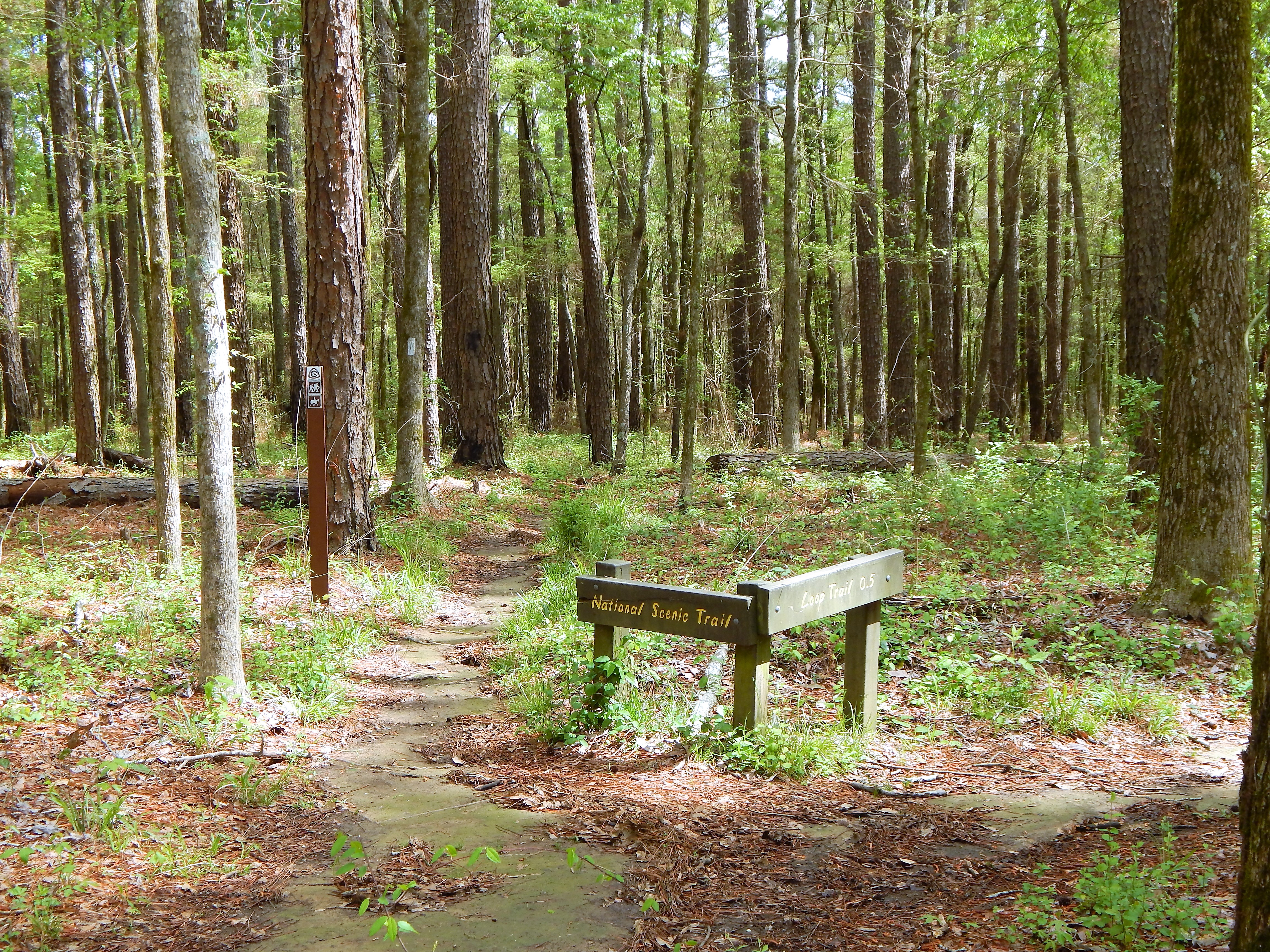
North of Jackson, Mississippi the Yockanookany section of the Natchez Trace National Scenic Trail is the longest of the five developed trail sections at 26 miles. Eight miles run alongside the Ross R. Barnett Reservoir, and the other sixteen miles go through dense forests, seasonal streams and open pastureland. There is a lot to see on this stretch of trail; many sites are accessible via short side trails (you may have to cross the parkway). The trail parallels the parkway roadbed; use caution at all times, especially at bridge crossings, where you must walk along the Parkway road. Camping is not permitted along this section of trail. All camping must take place in designated campgrounds unless you received a special use permit in advance. See Camping on the Natchez Trace Parkway for additional information. See Maps for additional information. See Alerts & Conditions and Road and Site Status for additional information. Areas on the Yockanookany Section of the Natchez Trace National Scenic Trail Northern Terminus Trailhead at Yockanookany (Milepost 130.9): The Yockanookany trailhead is the northern terminus of the Yockanookany Section of the Natchez Trace National Scenic Trail. This trailhead is open to hikers only. From this trailhead, the southern terminus at West Florida Boundary is about 26 miles away. To access the trailhead from the parking area walk south from the parking area several hundred feet until you see the Natchez Trace National Scenic Trail sign on your right. Upper Choctaw Boundary (Milepost 128.4): Hikers can access the Yockanookany section of the Natchez Trace National Scenic Trail from the short self-guided interpretive walk at the location. Cypress Swamp (Milepost 122): The Cypress Swamp Trailhead is located directly across the paved Parkway from the Cypress Swamp site. Hikers may hike south 14.1 miles to the West Florida Boundary, north 8.9 miles to the Yockanookany Trailhead, or any distance they chose on this out and back trail. Highway 43 Trailhead (near Milepost 114.9): This is a the only staging area for horses on this section of the Natchez Trace National Scenic Trail. There is ample room for parking trailers, and water is available for horses to drink at this trailhead. Riders can travel north 16 miles to the northern terminus at Yockanookany, or south seven miles to the southern terminus at the West Florida Boundary. To reach the Mississippi Hwy. 43 trailhead, exit the Parkway at Milepost 115; go west on MS Hwy 43 a short distance to Yandell Road; turn left (south) for 100 feet; turn left into the parking area. Southern Terminus Trailhead at the West Florida Boundary (milepost 107.9): The West Florida Boundary Trailhead is the southern terminus of the Yockanookany Section of the Natchez Trace National Scenic Trail. This parking area and trailhead is for hikers only. Hikers may chose to walk a short loop on the nature trail or continue for 26 miles to the northern terminus of this section at the Yockanookany Trailhead.

Lake Creek - Woodland Trail Loop
Grand Teton National Park
Take an easy hike along Lake Creek to the shore of Phelps Lake. The trail begins at the Laurance S. Rockefeller Preserve and winds through the surrounding forest and along the banks of Lake Creek. Once at Phelps Lake, the forest opens up to reveal the lake and views into Death Canyon. Follow the Woodland Trail to complete the loop back.
Upcoming programs and events at parks in this collection (from the NPS Events API).
From June to September, visitors can join an interpretative walking tour that showcases the natural surroundings and historic buildings, while weaving in the vibrant legacy and enduring impact of the Muries. The campus also features winding trails around the cabins, to the river, and through the nearby woods. Self-guided tours are also available. Docent-led tours operate at 11 am and 3 pm every day. The Murie Ranch is a National Historic Landmark nestled within Grand Teton National Park. Named for conservationists and ecologists Margaret (Mardy) and Olaus Murie, and Adolph and Louise Murie, the ranch carries forward a legacy rooted in curiosity, care, and deep connection to the natural world.
Meet a park ranger at the Hoh Rain Forest Visitor Center outdoor plaza. Enjoy a 0.8-mile guided walk beneath towering old-growth trees and tapestries of moss as you learn about the Hoh Rain Forest's amazing cast of characters. The trail surface is hard-packed with some stairs and uneven surfaces from tree roots and other obstacles. Please allow 1.25-1.5 hours for this activity.
Join a Park Ranger at the Carl Hayden Visitor Center for a quick presentation about Glen Canyon. Topics vary.
Join a ranger for an engaging evening program at Jenny Lake to learn more about Grand Teton’s natural and cultural history. Topics vary each night, inquire locally at the Jenny Lake Visitor Center to learn more about program descriptions. Bring a folding chair if you would like to sit. This is an accessible program.
Take a seat under the old growth forest canopy at the Heart O' the Hills Campground Amphitheater for a program about Olympic National Park. Ranger-led programs may be cancelled at any time due to operational priorities and/or safety concerns. For the latest updates and info, inquire with park staff, call 360-565-3130, or visit us online at www.nps.gov/olym .
Meet at the Hurricane Ridge Parking Area and walk less than a mile on paved trails through the meadows with a Ranger. Ranger-led programs may be cancelled at any time due to operational priorities and/or safety concerns. For the latest updates and info, inquire with park staff, call 360-565-3130, or visit us online at www.nps.gov/olym .
Hike with a ranger beside Jenny Lake to learm about the plants, animals, water, and other beings that call this place home. This 2.5 mile round-trip trail is welcoming to the whole family and those new to hiking.
Join us as Indigenous artists share about their crafts and cultures through performance, storytelling and more. For more information including speakers and topics, visit Grand Teton National Park's webpage on the Indigenous Arts and Cultural Demonstration Program & Speaker Series .

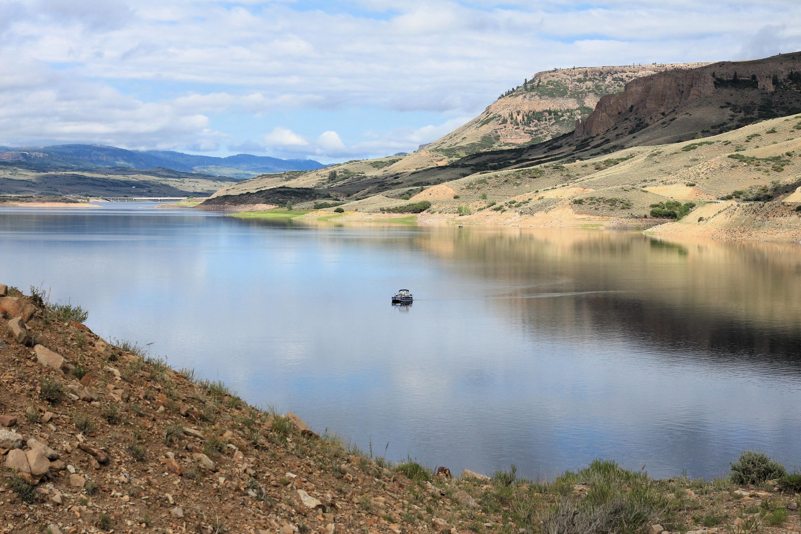
Three reservoirs and surrounding lands make up this recreation area in western Colorado. It is a landscape of tradeoffs; natural and human made features exist together. Geologic wonders are abundant from the sagebrush shrublands to forests. Visitors can experience the park year-round on both land and water.

Encompassing over 1.25 million acres, Glen Canyon National Recreation Area offers unparalleled opportunities for water-based & backcountry recreation. The recreation area stretches for hundreds of miles from Lees Ferry in Arizona to the Orange Cliffs of southern Utah, encompassing scenic vistas, geologic wonders, and a vast panorama of human history.

Soaring over a landscape rich with wildlife, pristine lakes, and majestic alpine vistas, the Teton Range stands as a testament to generations of stewards. For over 11,000 years, communities have thrived in the valley known as Jackson Hole, turning these mountains into more than just peaks—they embody imagination and enduring human connection.

Experience outdoor thrills, striking landscapes, and brilliant blue waters. This year-round recreation area spreads across 1.5 million acres of mountains, canyons, valleys and two vast reservoirs. Visitors come here for scenic drives, biking, hiking, boating, fishing, camping, and much more.

The ancient geologic landscape of the upper Columbia River cradles Lake Roosevelt in walls of stone carved by massive ice age floods. Come explore the shorelines and learn the stories of American Indians, traders and trappers, settlers and dam builders who called this place home. Swim, boat, hike, camp, and fish at this hidden gem in Northeast Washington, created by the Grand Coulee Dam.

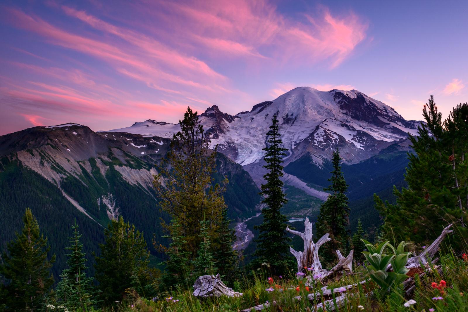
Ascending to 14,410 feet above sea level, Mount Rainier stands as an icon in the Washington landscape. An active volcano, Mount Rainier is the most glaciated peak in the contiguous U.S.A., spawning five major rivers. Subalpine wildflower meadows ring the icy volcano while ancient forest cloaks Mount Rainier’s lower slopes. Wildlife abounds in the park’s ecosystems. A lifetime of discovery awaits.

The Natchez Trace National Scenic Trail is five sections of hiking trail running roughly parallel to the 444-mile long Natchez Trace Parkway scenic motor road. The foot trails total more than 60 miles and offer opportunities to explore wetlands, swamps, hardwood forest, and the history of the area.

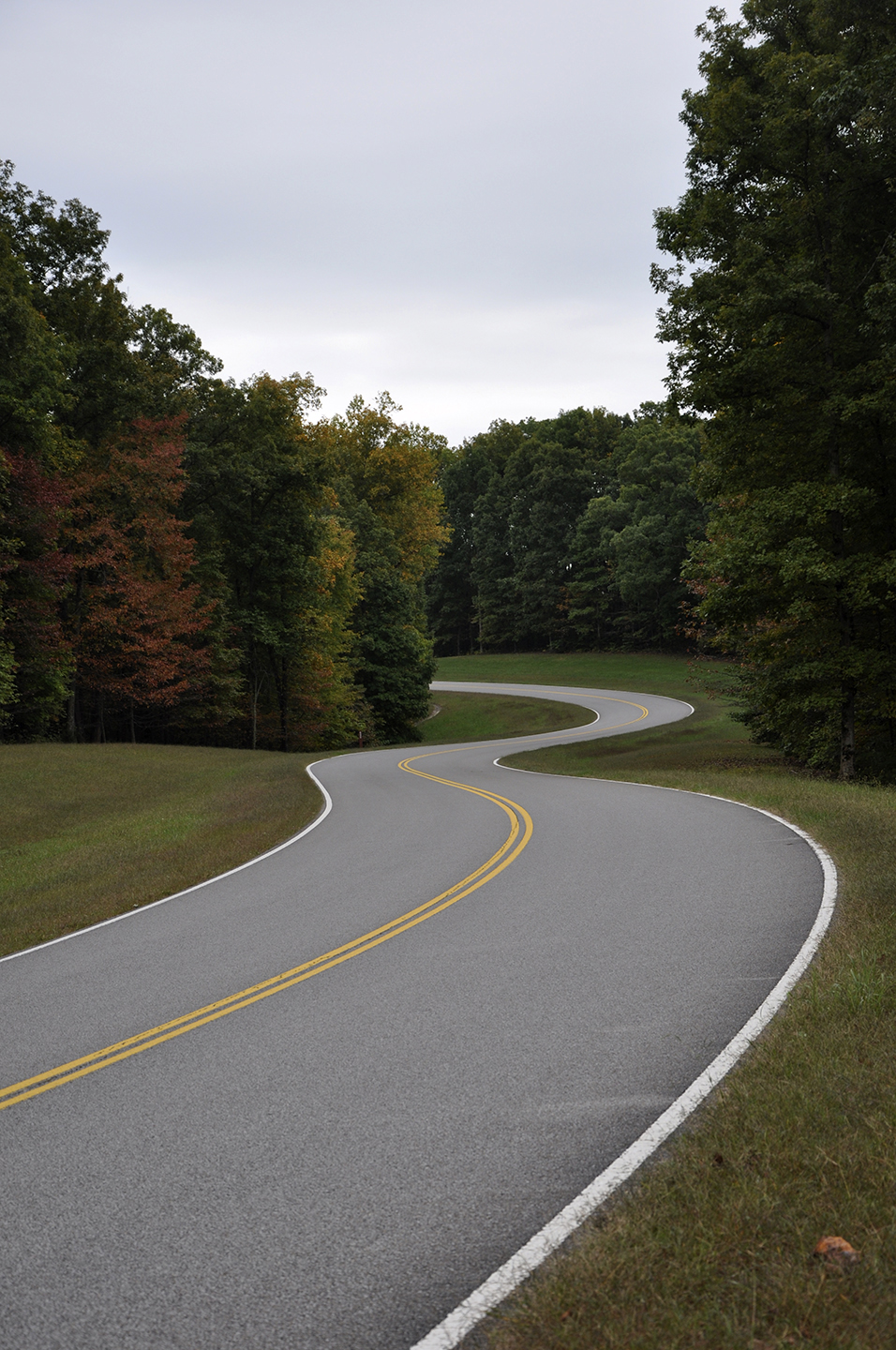
The Natchez Trace Parkway is a 444-mile recreational road and scenic drive through three states. It roughly follows the "Old Natchez Trace," a historic travel corridor used by American Indians, "Kaintucks," European settlers, slave traders, soldiers, and future presidents. Today, people can enjoy a scenic drive as well as hiking, biking, horseback riding, and camping along the Parkway.

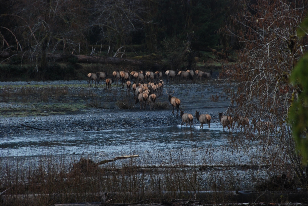
With its incredible range of precipitation and elevation, diversity is the hallmark of Olympic National Park. Encompassing nearly a million acres, the park protects a vast wilderness, thousands of years of human history, and several distinctly different ecosystems, including glacier-capped mountains, old-growth temperate rain forests, and over 70 miles of wild coastline. Come explore!

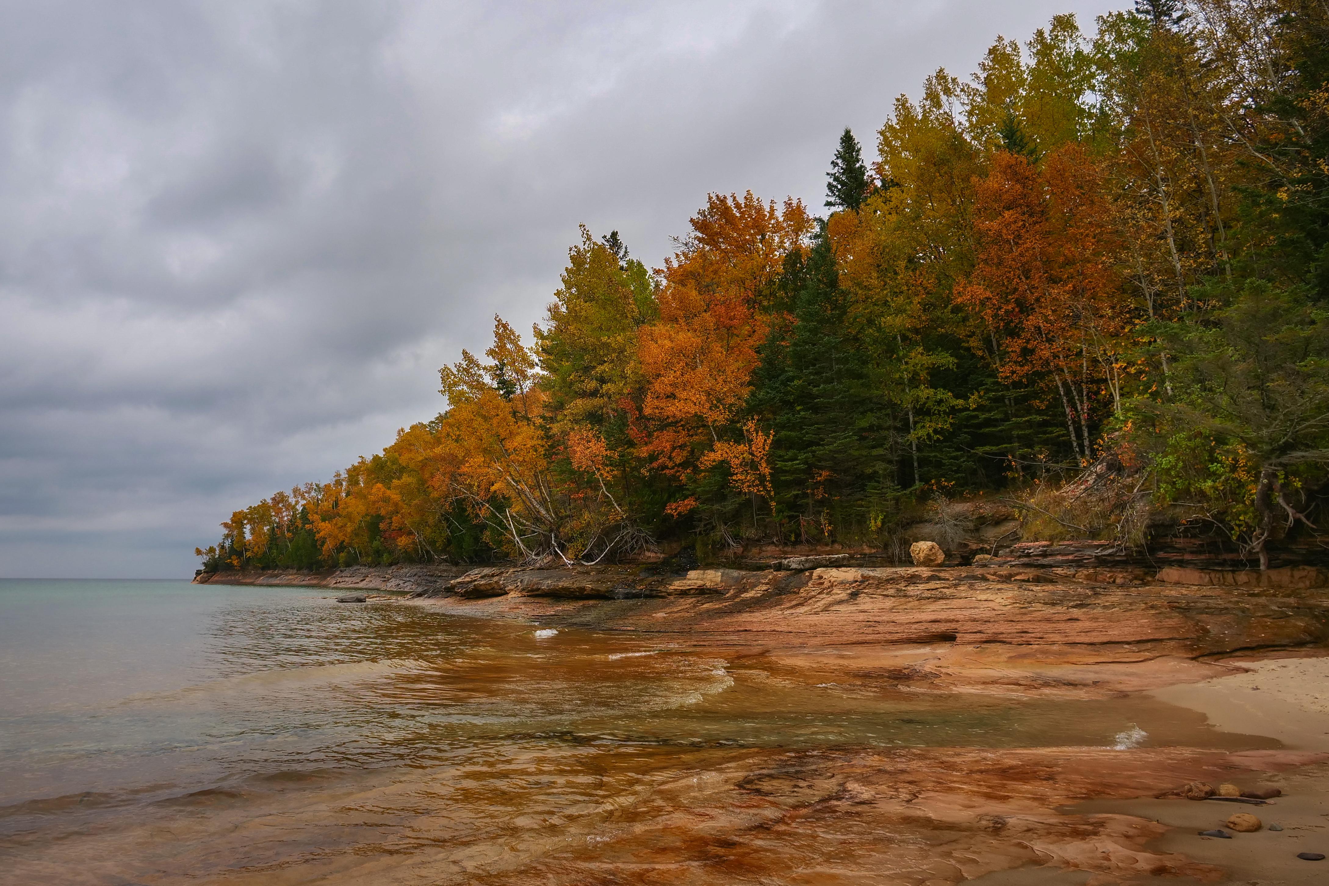
Sandstone cliffs, beaches, waterfalls, sand dunes, inland lakes, deep forest, and wild shoreline beckon you to visit Pictured Rocks National Lakeshore. The power of Lake Superior shapes the park's coastal features and affects every ecosystem, creating a unique landscape to explore. Hiking, camping, sightseeing, and four-season outdoor opportunities abound.

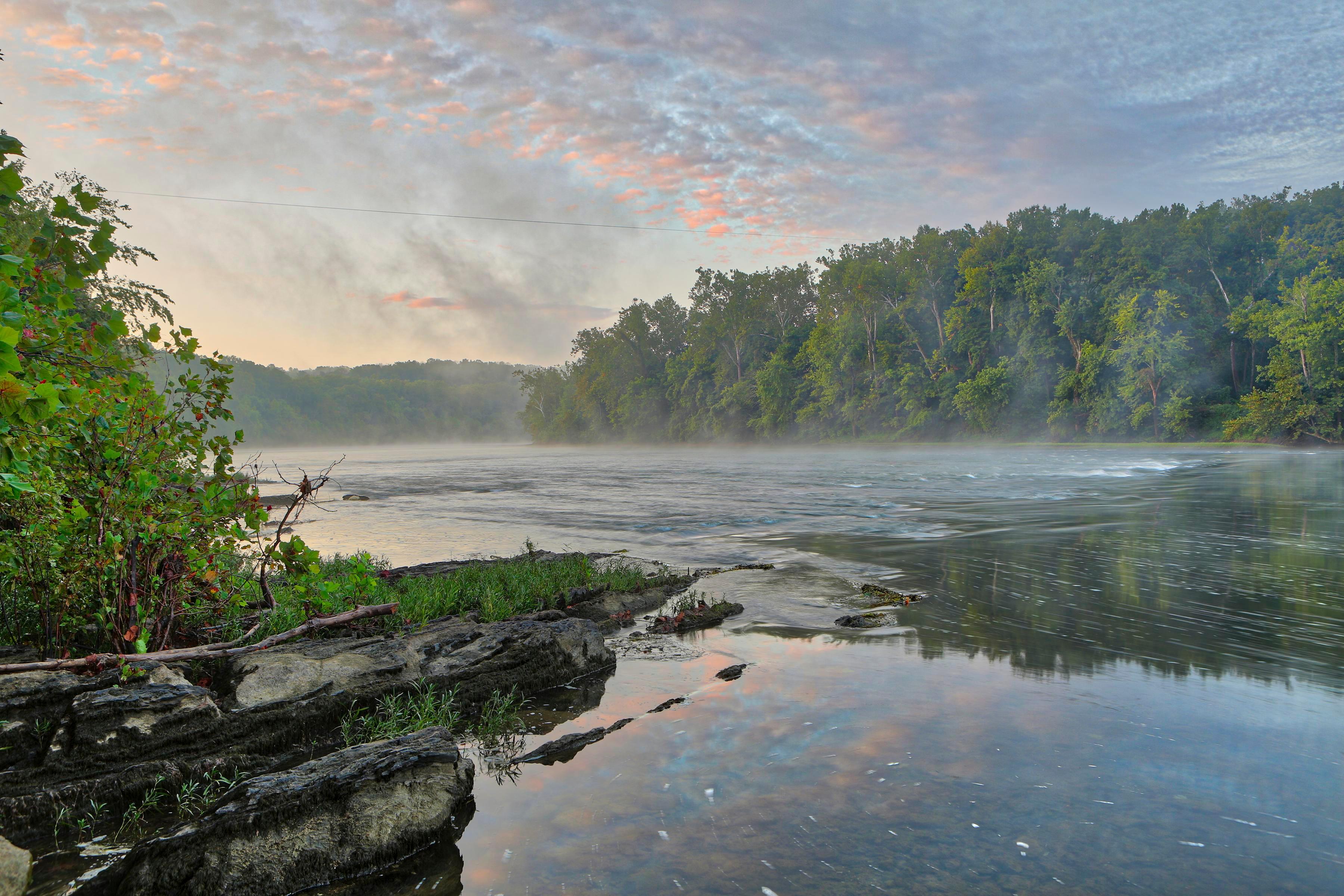
The Potomac River corridor is rich in both history and recreation, offering a chance to both explore your heritage and choose your adventure along the way. Start your journey here!